

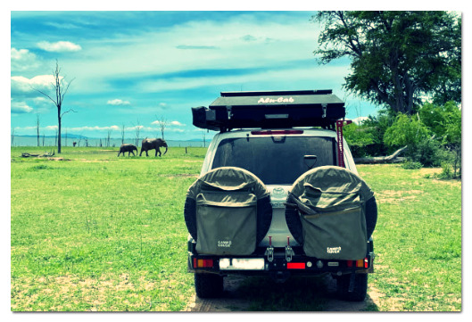
Detailed Planning for Self-Drive Travellers
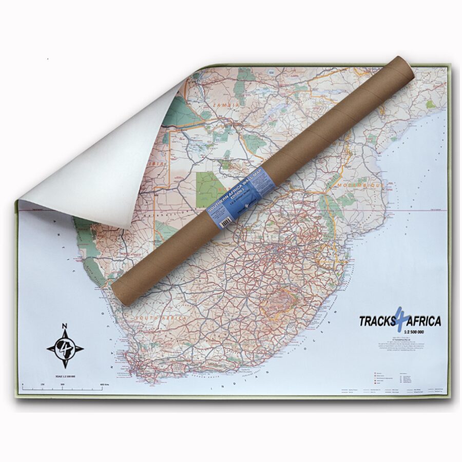
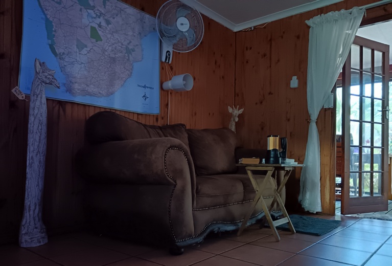
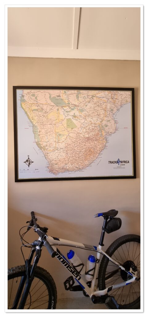
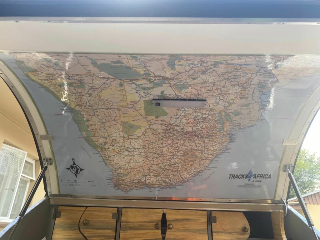
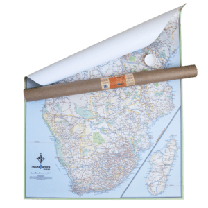
The Tracks4Africa Southern Africa Wall Map, printed at a 1:2.5 million scale, delivers impressive detail for self-drive travellers. Moreover, it is perfect for macro planning road trips across Southern Africa and even as far north as southern Angola.
Comprehensive Features
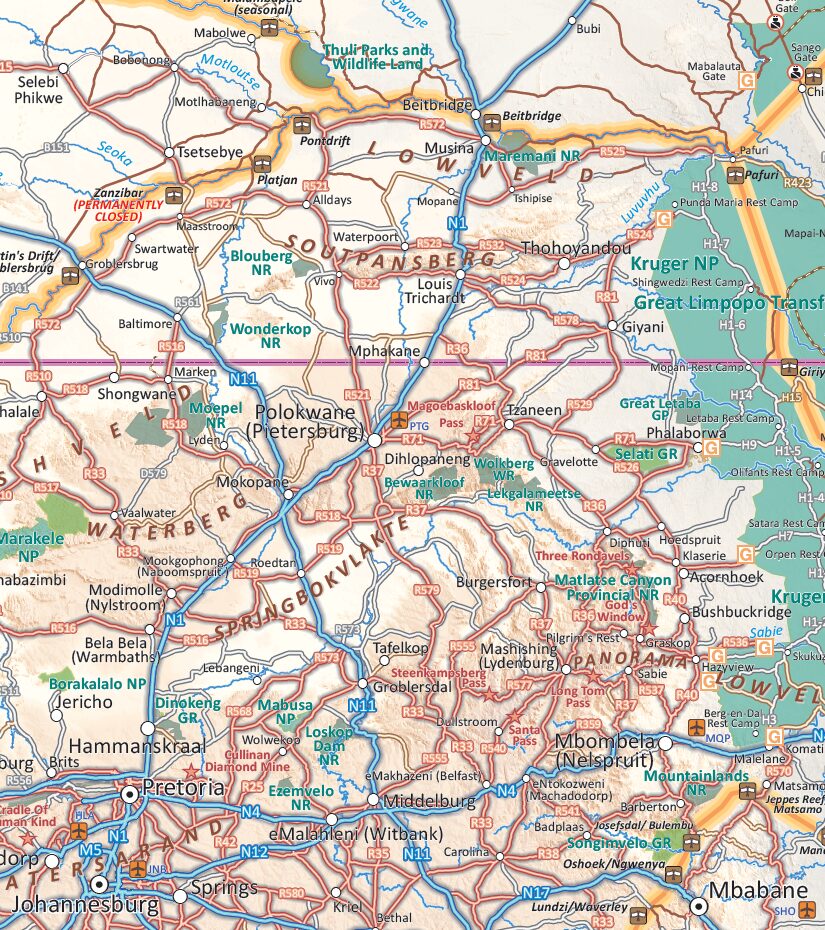
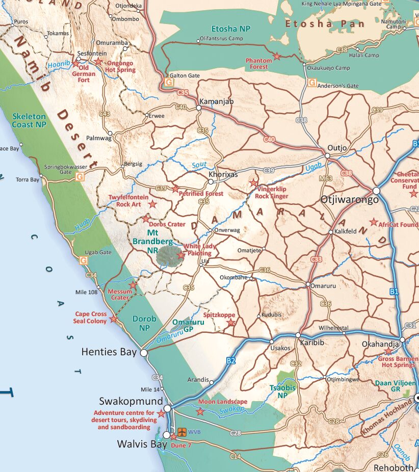
The map highlights major and secondary roads, parks, towns, and numerous remote tracks. In addition, it clearly marks international airports, land borders, and major tourist attractions, ensuring you can plan with confidence.
Wide Coverage
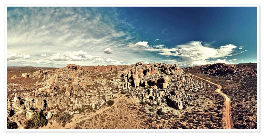
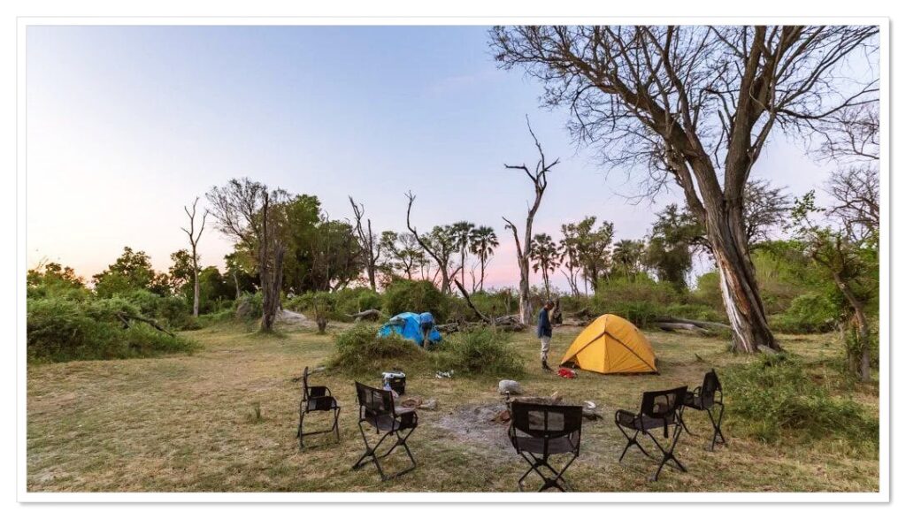
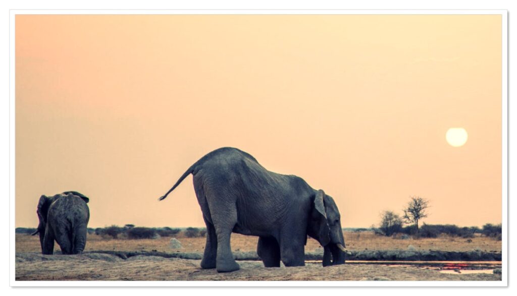
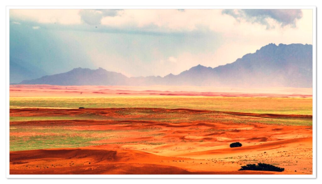
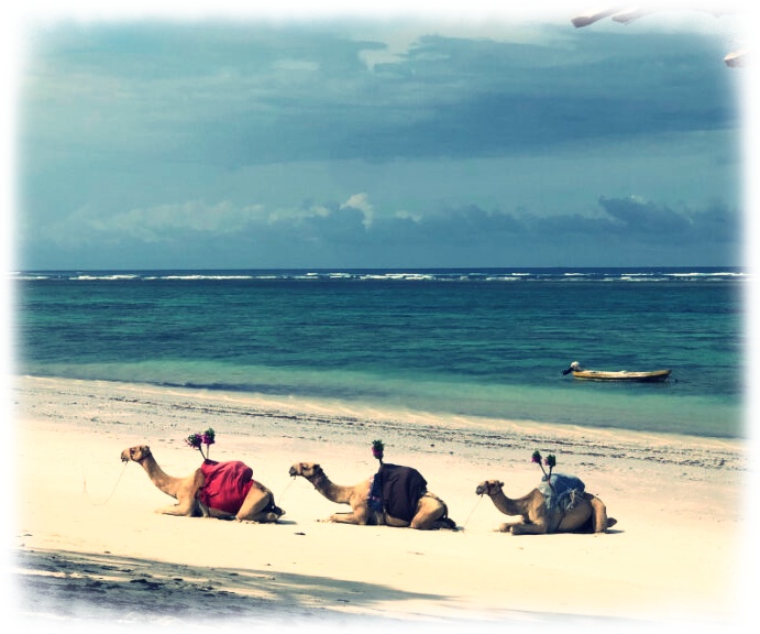
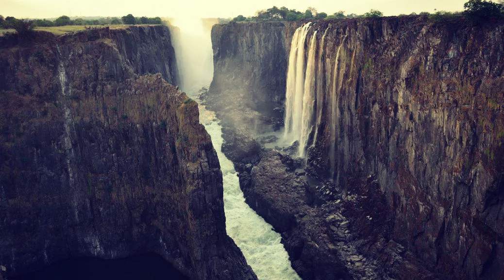
This detailed wall map covers South Africa, Lesotho, eSwatini, Zimbabwe, Botswana, and Namibia in full. Furthermore, it extends to most of Mozambique up to Nampula, southern Angola up to Lubango, southern Zambia up to Kabwe, and the southern tip of Malawi as far as the start of Lake Malawi.
Ideal for Planning
With its clarity and reach, the Tracks4Africa Wall Map of Southern Africa is the ultimate tool for macro planning extended self-drive adventures throughout Southern Africa.
Changes/additions made for the second edition:
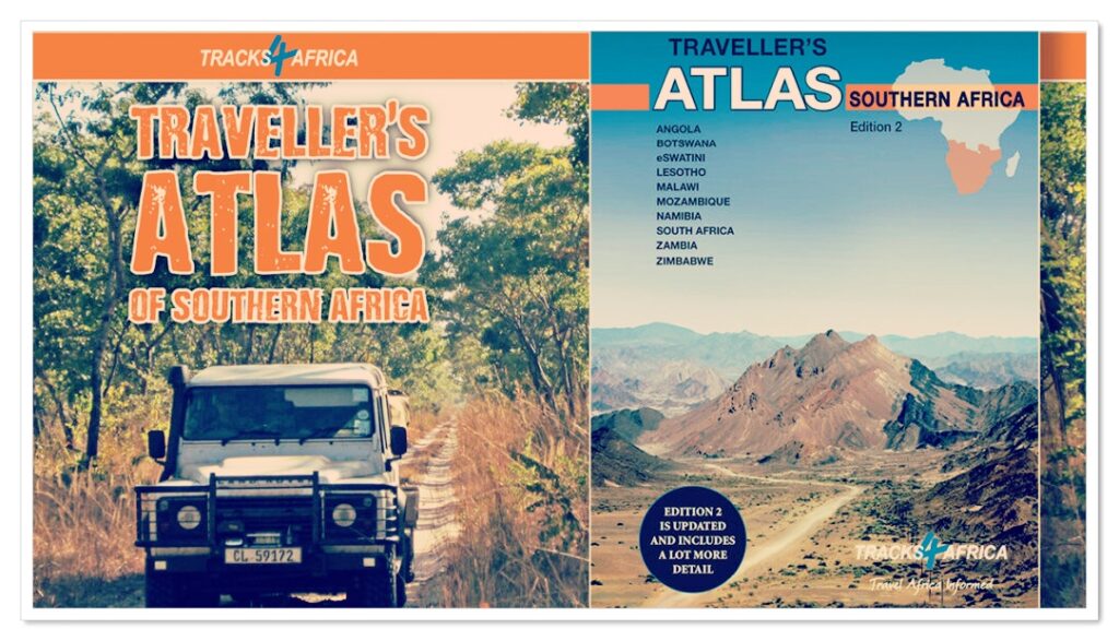
The Tracks4Africa Wall Map of Southern Africa includes:
Road Networks: We added more roads and labels to match the scale.
Populated Places: We included small towns and settlements wherever space allowed.
Points of Interest: We highlighted major tourist attractions, mountain passes, and iconic geographical features with red stars.
Protected Areas and Reserves: We annotated all prominent national parks and reserves, improving on earlier editions.
Area Text: We added regional descriptions such as Bushveld, Lowveld, Overberg, Kaokoland, Wild Coast, and Skeleton Coast to help travellers understand the landscape.
Park/Reserve Gates: We indicated entrance gates where permits can be obtained for easier access.
Easy-to-Use Laminated Surface
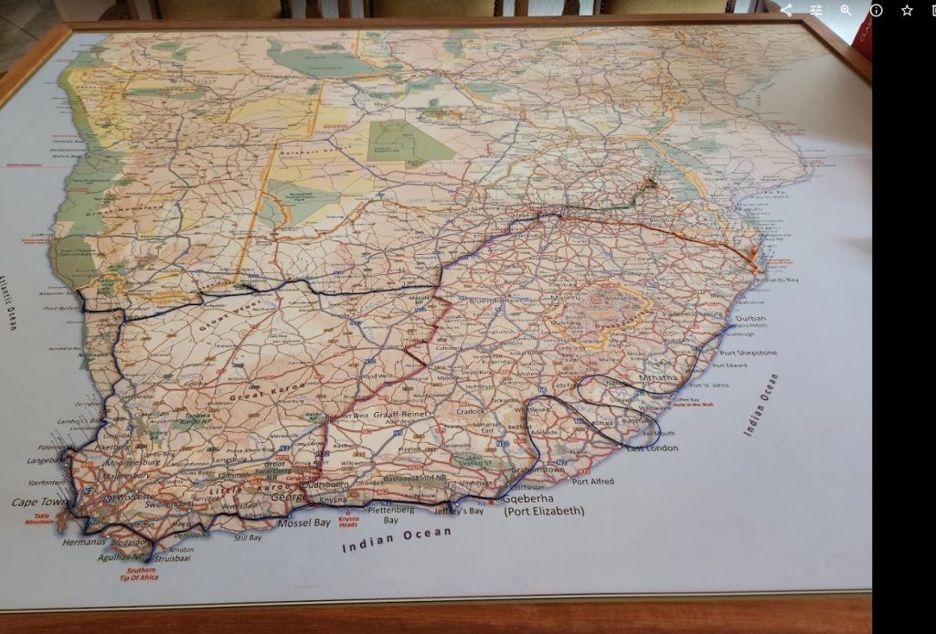
Because the Tracks4Africa Africa Wall Map is matt laminated, you can mark routes directly on it. Use whiteboard non-permanent markers, and simply wipe clean with a little water—no stains left behind.
Recommended brands include Penflex and SigmaFlo (Monami).
Key Features:
- Enjoy clarity with a scale of 1:2.5 million.
- Benefit from durability as the Africa Wall Map is matt laminated on both sides.
- Plan with ease using the large 1300 × 980 mm format of the Tracks4Africa Africa Wall Map.
- Explore widely since the map spans from South Africa in the south to Ethiopia in the north.
- Plan with ease using the full-colour map showing roads, parks, airports, attractions, and borders in clear detail.
- Includes a good number of tracks in remote areas.
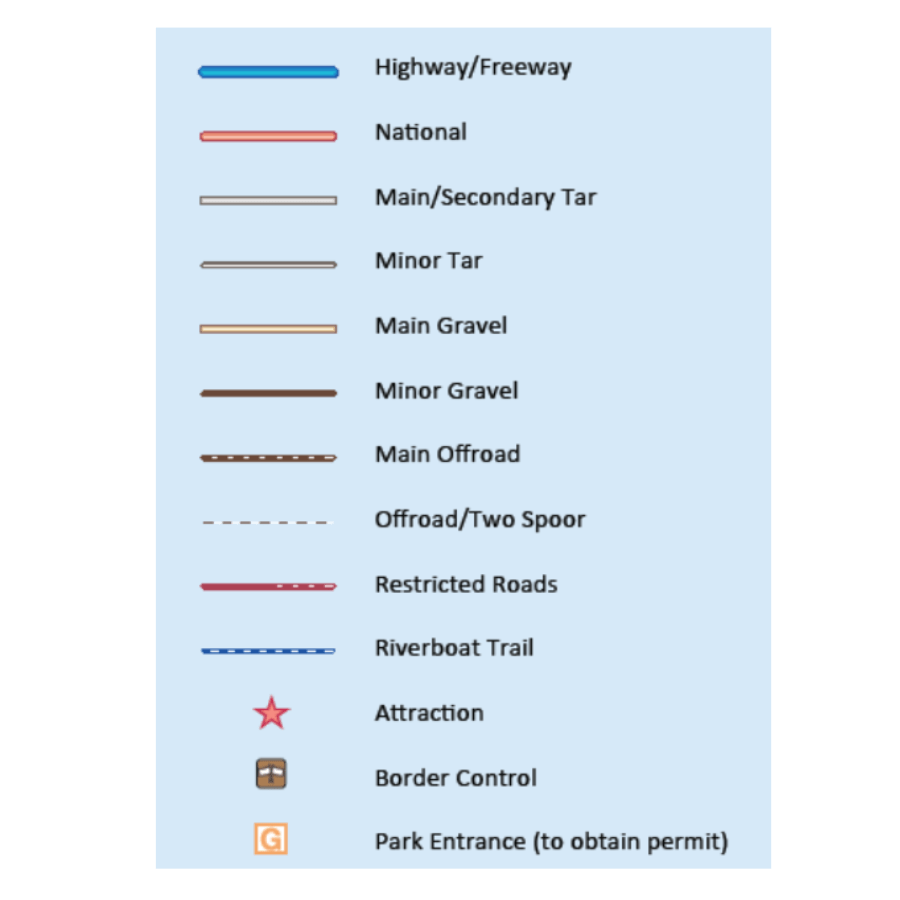
LEGEND:
A customer review of our 1st edition:
A great product & a perfect addition to the Atlas. The wall Map gives you an overview which you can translate to the Atlas for all the amazing detail in the Atlas. Block mount the excellent quality wall map & mark all your trips to record all the places you visited. Once you have an overall plan on the wall map, have the finer details from the Atlas you translate the info to the latest T4A map on your GPS & you are all set to explore!


Mike Greeff (verified owner) –
Maps are more than an information source regarding roads and other things – they tell a story, they take you in and lead you along roads of memories and of dreams. And this one, it is a master storyteller and a companion to cherish.
Este Prins (verified owner) –
Baie tevrede, mooi uiteengesit en lekker vir beplanning van jou volgende avontuur!
Tom Sluijter (verified owner) –
If you’re a 4×4 adventurer in Southern Africa, the Tracks4Africa Southern Africa Paper Map (Edition 2) is a must-have. It’s perfect for showing visitors where you’ve been or plan to go, and for keeping a visual record of your travels.
We mounted ours on a 1320mm x 1000mm custom pin board (fine-density 6mm cork on 6mm MDF, ordered from getcork.co.za) and marked locations with coloured pins connected by cord to trace our routes.
Andre Wolfaardt (verified owner) –
Great map for overlanding and travel planning. Had an issue with the first map but it was resolved quickly and efficiently. Would definitely recommend.
J Diener (verified owner) –
Great for planning and quick reference (as well as dreaming and some bragging).
charl.marais@ul.ac.za (verified owner) –
Tracks4Africa Wall Map of Southern Africa (Edition 2) – This is a great product and definitely something I would recommend to all. This was on our Wishlist for a long time. Thank you Tracks4Africa