Product Description
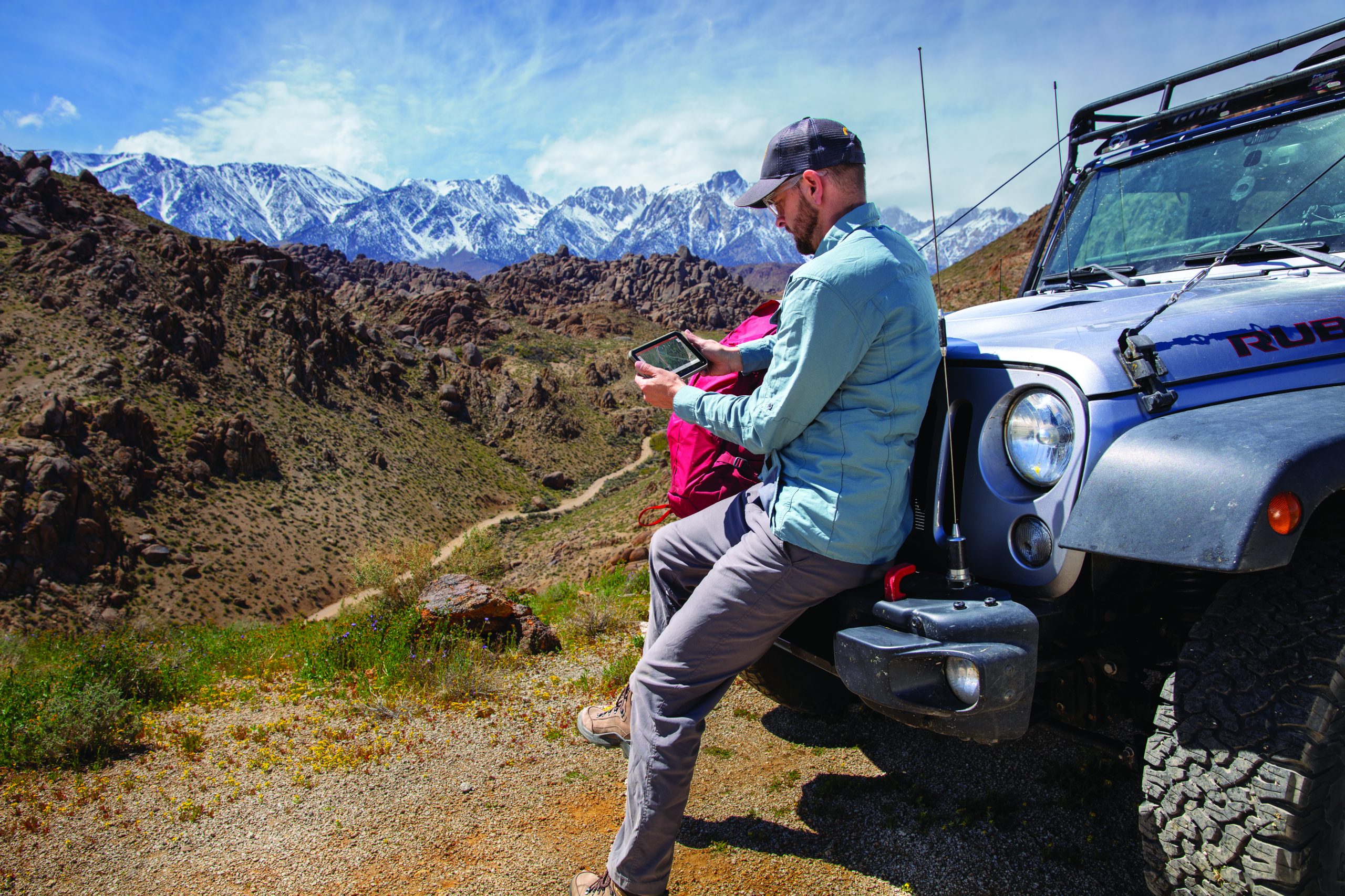
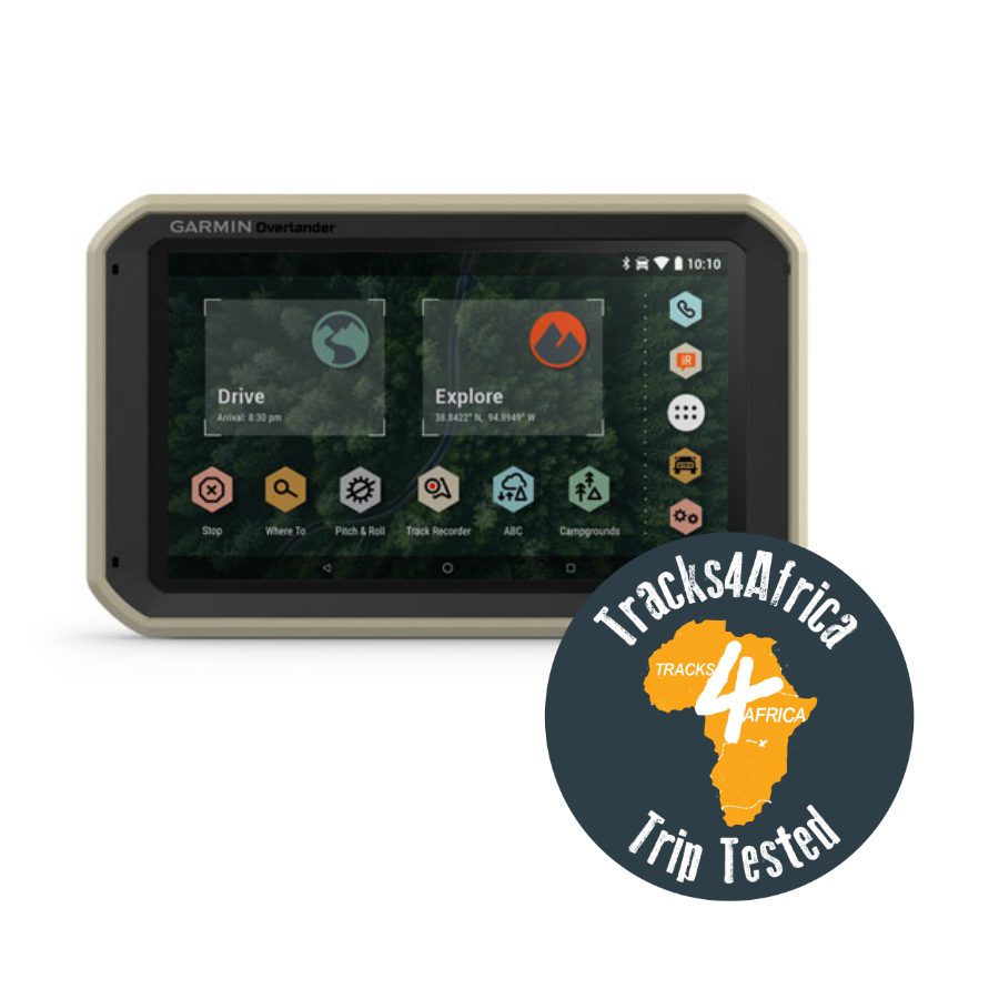
Built for every part of the journey, Overlander is the rugged, all-terrain navigator with on- and off-road navigation.
- Get the lay of the land with topographic maps for Europe, Middle East and Africa
- Or get spoken directions to the nearest coffee shop with street maps.
- Share the plans for adventure through Garmin Explore. From your laptop to your phone to your friends.
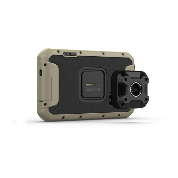
- Comes with a powered magnetic mount and a RAM ball mount. It’s not going anywhere.
- Search for the nearest inspiration point while you’re in the middle of nowhere.
- Need to bring your own satellite imagery? How does 64 GB of built-in storage sound?
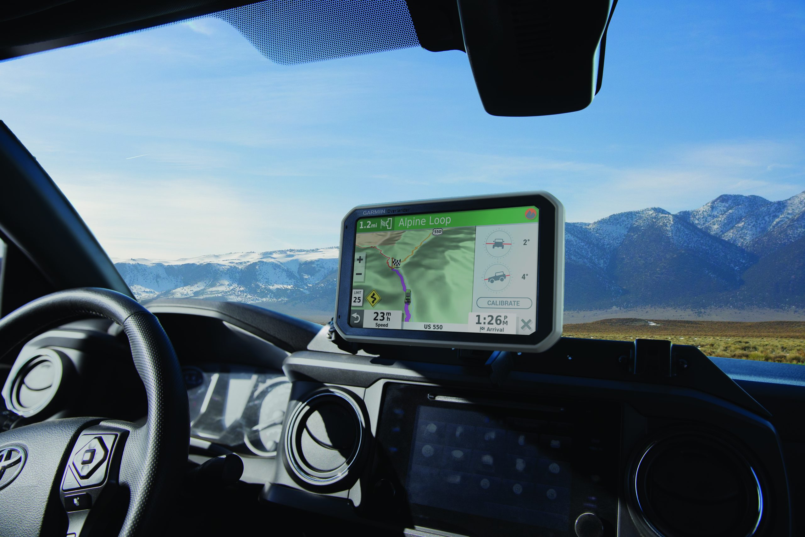
Built tough for the journey ahead.
ON AND OFF ROAD
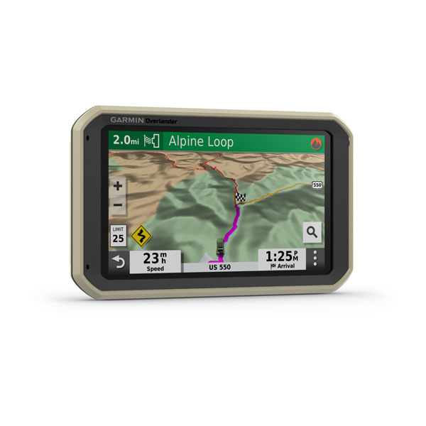
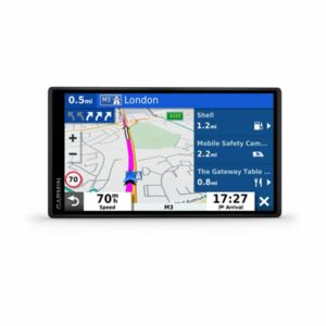
7″ color touchscreen features turn-by-turn directions for on-road navigation covering Europe, Middle East and Africa, and topography maps for off-road guidance. Includes 64GB internal memory to download additional TOPO maps.
MILITARY STANDARD 810
Overlander is built to the U.S. military standard 810 for thermal and shock resistance. It can be mounted anywhere, thanks to the powered magnetic mount that comes with suction cup and 1” RAM ball compatible adapter.
IP5X DUST RATING
This essential piece of overlanding gear is purpose-built from the circuit board up and is designed to withstand dust and extreme temperatures.
Go beyond the road less traveled.
GARMIN EXPLORE
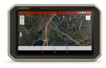
Use the Garmin Explore app to download additional maps – such as satellite imagery and USGS quad sheets on 64 GB of internal storage – and sync all your data between devices. Easily import and export GPX files to Garmin Explore — even if offline.
FIND CAMPSITES
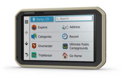
Overlander is preloaded with iOverlander POIs and Ultimate Public Campgrounds, so you don’t need a cell signal to route to the best-established, wild and dispersed campsites.
FIND BOUNDARIES
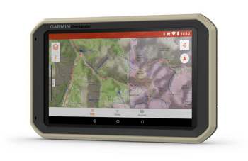
Overlander features topographic maps, including public land boundaries, 4×4 roads, forest service roads, waterways, trails and other land use data.
KNOW YOUR VEHICLE
Customize street navigation for the size and weight of your overlanding vehicle, plus get alerts for upcoming bridge heights, weight limits, sharp curves, steep grades and more.
MULTI-GNSS SUPPORT
GPS, GLONASS and Galileo support helps track in more challenging environments than GPS alone.
NAVIGATION TOOLS
All of your overlanding equipment – such as a built-in compass, altimeter and barometer – is now in one device.
The right tools for the roughest roads.
TRACK RECORDER
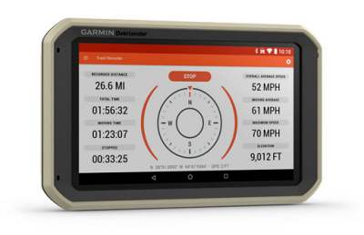
Record your tracks, and save them to your Garmin Explore account so you can review them later on any device or share them with friends.
PITCH AND ROLL
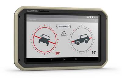
Overlander comes with integrated pitch and roll angles to help you and your vehicle navigate difficult terrain.
INREACH® COMPATIBLE
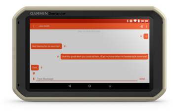
Pair your Overlander navigator with the inReach Explorer®+, inReach SE®+ and inReach® Mini satellite communicators (sold separately) for two-way text messaging, interactive SOS and weather forecasts.
BACKUP CAMERA COMPATIBLE
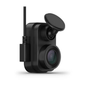
Pair your Overlander with up to 4 of our BC™ 35 wireless backup cameras (sold separately) so you can see what’s behind you.
GENERAL
Physical Dimensions: W x H x D 19.9 x 12.2 x 2.4 cm
Display Size: W x H 15.2 x 8.9 cm; 7″ diagonal
Display Resolution: 1024 x 600 pixels
Display Type: Multi-touch, glass, WSVGA colour TFT with white backlight
Weight: 437 g
Battery Type: Rechargeable lithium-ion
Battery Life: Up to 3 hours
Drop Rating: MIL-STD-810
Dust Rating: IP5X
Magnetic Mount: Yes
I”Ball Adapter with amps plate: Yes
MAPS&MEMORY:
Preloaded Street Maps: Yes
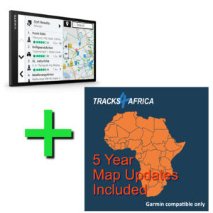
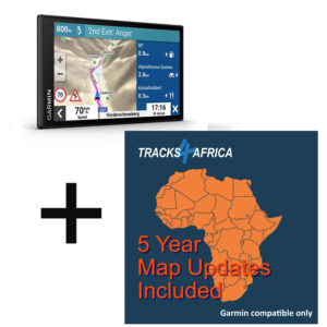
Compatible with Tracks4Africa GPS Maps: Yes
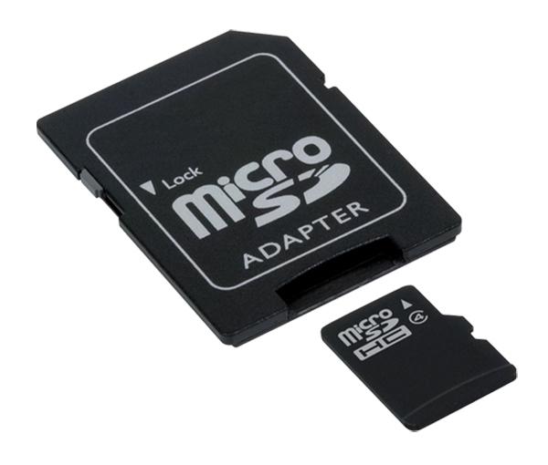
Data Cards: MicroSD™ card (not included)
3D Terrain: Yes
Internal Storage: 64 GB
Downloadable Satellite Imagery: Yes (U.S. only)
Downloadable USGS Quad Sheets: Yes
SENSORS:
GPS: Yes
Glonass: Yes
Galileo: Yes
Barometric Altimeter: Yes
Compass: Yes
OUTDOOR RECREATION:
Preloaded Topographical Maps: Yes
CAMERA FEATURES:
Backup Camera Compatible: Yes
NAVIGATION FEATURES:
Garmin Real Directions™ Landmark Guidance: Yes
Millions of Foursquare® Points of Interest: Yes
Tripadvisor® Traveller Ratings: Yes
Route Shaping through preferred cities/streets: Yes
Voice-Activated Navigationr (Operate Device with spoken commands): Yes
Traffic Updates: No (Optional traffic cable accessory)
Lane Assist with Junction View (Displays Junction Signs): Yes
Bluetooth® Calling: Yes
Speed Limit Indicator (Displays Speed Limit for most major roads in the U.S and Europe): Yes
Driver Alerts for Sharp Curves, School Zones, Red Light and Speed Camera Warnings and More: Yes
ADVANCED FEATURES:
WI-FI® Map and Software Updates: Yes
CAMPER FEATURES:
Specialised Camper Routing: Yes
Camper Sites & Services Directory: Yes
Road Elevations: Yes
Speed Limit Changes: Yes
Country Borders: Yes
OVERLANDING FEATURES:
Pair with Compatible INREACH® Devices: Yes
Track Recorder (Breadcrumbs): Yes
Ioverlander™ Points of Interest: Yes
ACSI, Camper Contact and Trailer’s Park: Yes
Pitch and Roll Gauges: Yes
OUTDOOR APPLICATIONS:
Compatible with Garmin Explore™ App: Yes
In the box:
- Overlander
- Vehicle suction cup mount
- RAM ball adapter with AMPS plate
- Traffic receiver/Vehicle power cable
- USB cable
- Documentation
Note: Tracks4Africa GPS Maps are NOT included.
T4A Garmin Image File Installation for the Garmin Overlander:
Note: The Garmin Overlander requires a slightly different file structure than the other Garmin units. To install a downloadable GPS Map from Tracks4Africa you would follow these steps:
1. Insert SD Card into Adapter into a computer
2. Format the SD Card. Verify File System is FAT or FAT32
3. Create a folder with the name “Map” on the SD Card
4. Copy the T4A Traveller’s Africa ######.img file into the Map folder
5. Remove the SD Card from the computer and insert it onto the Overlander
6. Restart the Overlander
7. Navigate to “My Maps” in the “Settings” menu
8. Make sure the T4A Map displays in the list of maps and that it is checked as active
9. Deactivate all other City Navigator Maps (CN) for Africa. You can leave the DEM Maps active
10.Tracks4Africa data should now be active and visible when viewing the map
Tracks4Africas’ basic findings on the Overlander:
- It only communicates to a Windows computer, not Mac.
- It is possible to connect it to Basecamp on a Windows computer and we could load our maps to it and it is compatible.
- Our SD Card version from 19.10 will work with the Overlander. We realised that this unit and some other newer Garmin models require the folder structure on the Sd card to be slightly different and it was easy enough to include this change.
- We could not find a way to load and copy tracks from the Overlander without having to use the Explorer app though. So that is a bit of an oversight on their side as this unit is made to use in remote areas without the implicit need for internet access.
- The bracket the Overlander comes with does not hold up to off road travel for long. Our unit was in fact shipped with a RAM ball adapter and I would strongly recommend doing this conversion and mounting the unit with RAM fittings and suction cups.
Only logged in customers who have purchased this product may leave a review.



Tracks4Africa –
Useful Blogs from Tracks4Africa
The right GPS for navigation with Tracks4Africa maps
What is Overland Navigation?
More uses for your GPS than navigation