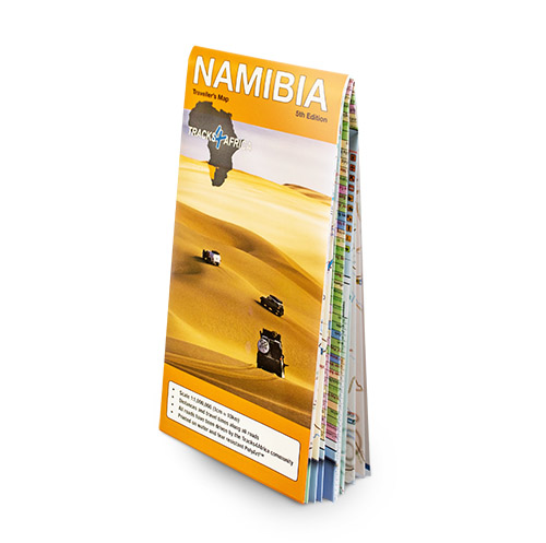


Product Description
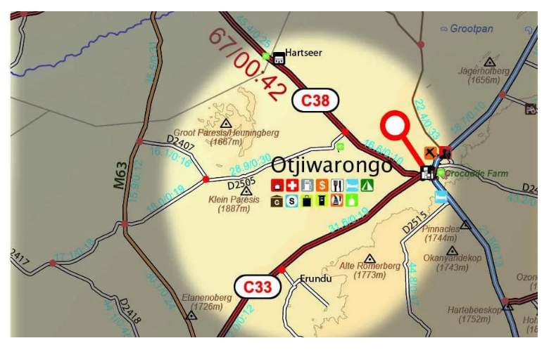
The Namibia Traveller’s Paper Map 5th Edition, works seamlessly with the T4A GPS Map of Namibia. In addition, its 1:1,000,000 scale makes it the largest available map of the country, offering the perfect tool for planning your next Namibian holiday.
What you see on the Namibia paper map is exactly what you get on T4A GPS Maps.
The T4A GPS Maps include all locations featured on the Namibia Traveller’s Paper Map, 5th Edition, so you don’t need to transfer coordinates manually. Additionally, the GPS maps offer comprehensive coverage of Namibia’s tourist destinations and guide you directly to every place shown.
Visit www.tracks4africa.com for detail on places of interest.
Key features:
- Printed on tear proof and water resistant Polyart
- Scale 1:1,000,000 (1cm = 10km)
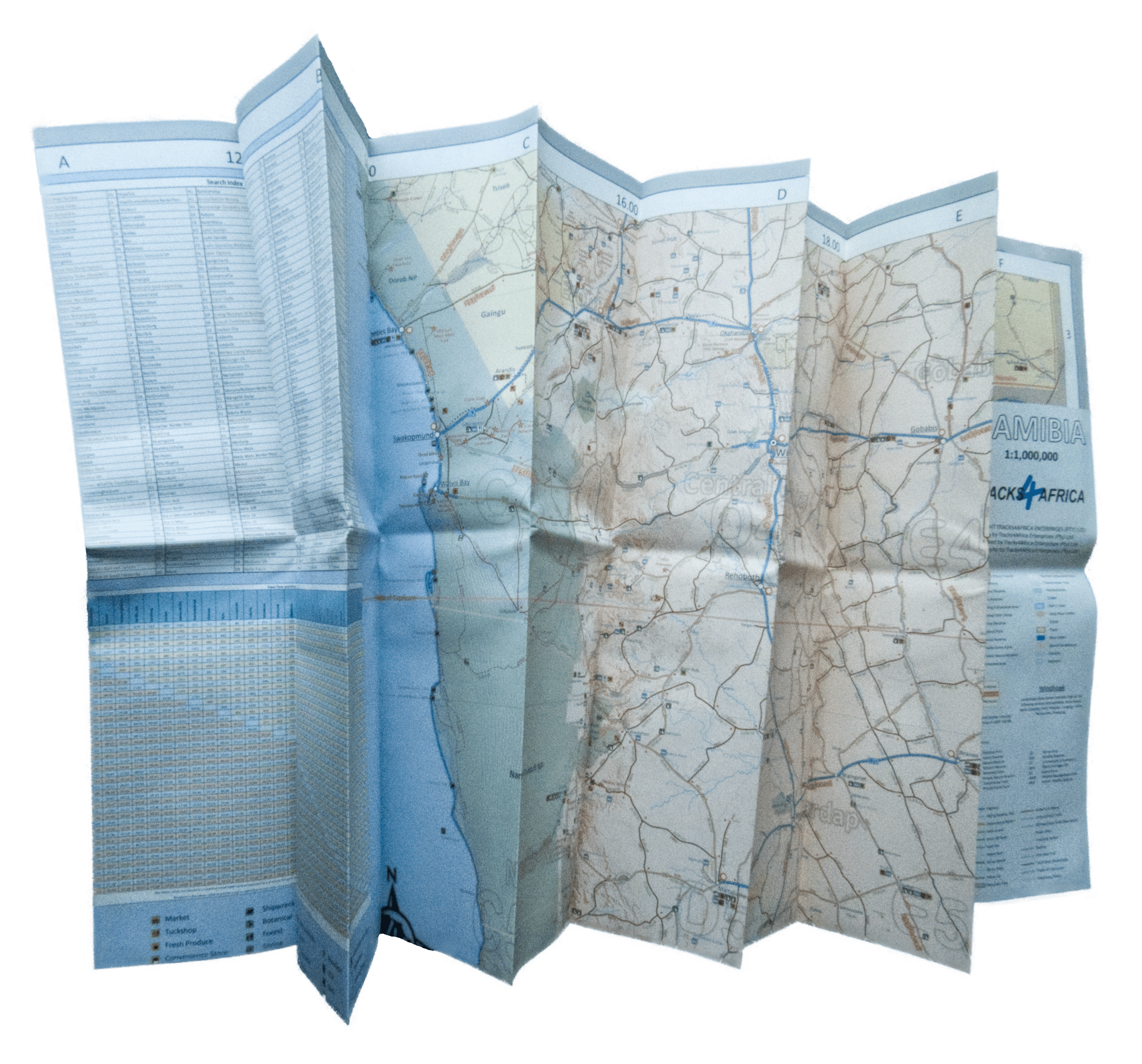
- When unfolded this map is 1000x1265mm.
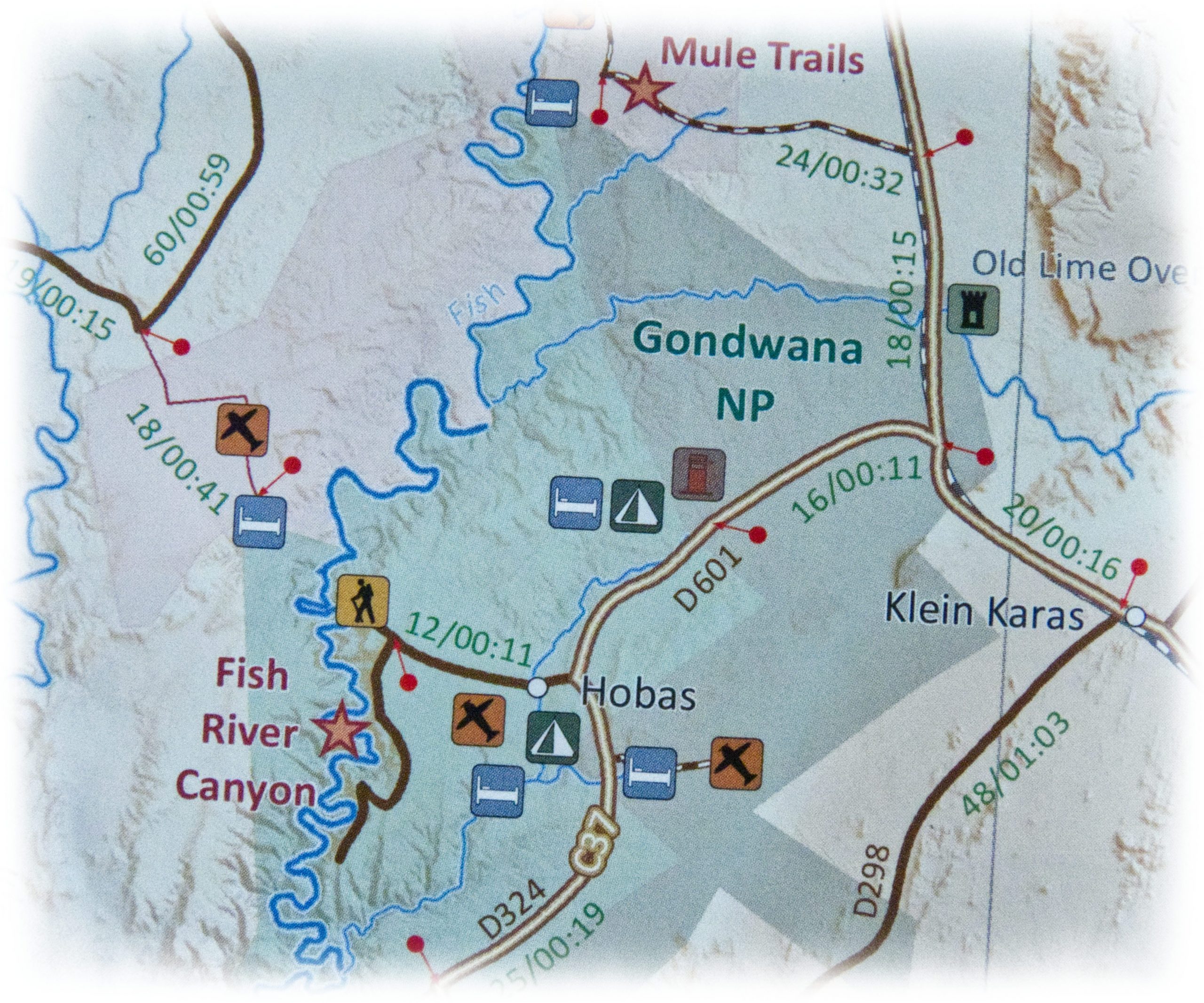
- Tracks4Africa community members have personally driven all roads, ensuring accurate and reliable mapping.
- Comprehensive set of roads and tracks in nature reserves
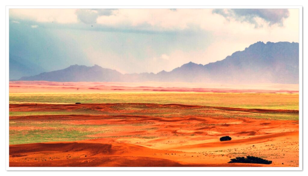
- Kaokoland in great detail with commonly used tracks
- Detailed maps for Swakopmund and Windhoek
- Map key included
- Map index included
- Additionally, shaded relief highlights mountains and other topographical features, enhancing map readability and terrain awareness.
- The map clearly shows distances and travel times between towns.
- Main services indicated with icons in main towns
- Furthermore, the map displays border controls along with their opening and closing times, helping you plan your route more effectively.
Over the past 10 years, the Tracks4Africa community has collectively recorded and verified every road using GPS. As a result, the roads, tracks, places of interest, distance data, and travel time estimates on the Namibia Traveller’s Paper Map, 5th Edition, accurately reflect their real-world travel experience.
In fact, the T4A paper map series is likely the world’s first comprehensive country map to offer travel time information for the entire road network, whether on tar, gravel, or sand!

The Namibia Paper Map clearly shows border crossing times, as well as distances and travel times between key locations, helping you plan more efficiently.


 Tracks4Africa
Andrew Kilmartin (verified owner) –
Best maps ever, the paper/plastic material is unbelievable.
petergh (verified owner) –
great map, especially find the distance and travel time the best! Also, waterproof and durable – its a win!
Dominic Thorburn (verified owner) –
An excellent hard copy map – while really large it is manageable both where one has space to view it opened and also folded more specifically to a sectional route when on foot or in a vehicle. Detail and information is as with digital maps sets T4A first class!
Barry Jennings (verified owner) –
Great buy! Excellent resource for planning our trip to Namibia next year.
Peer Iuel (verified owner) –
My wife loves physical maps and this one ticks all the boxes, great product, thank you!