Description
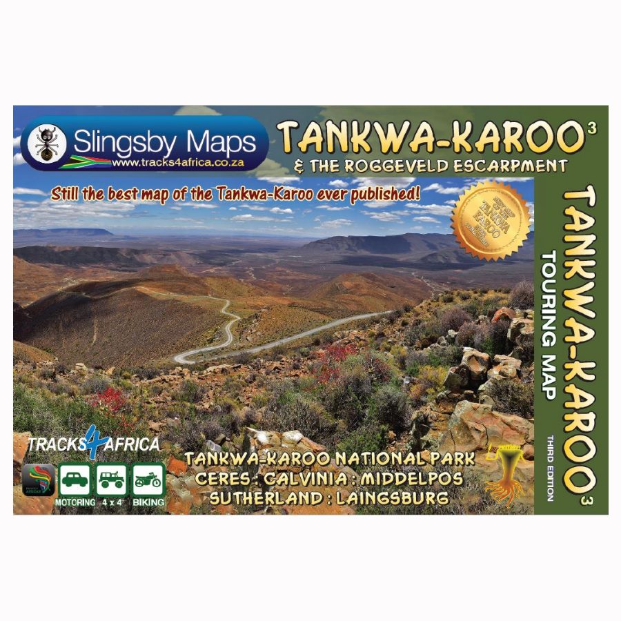
Tankwa is a must for those who crave isolation and don’t fear lonely roads. Armed with this double-sided, full relief map, you’ll feel like an explorer on the gravel roads thanks to multiple classifications that indicate the quality of each road to help you plan your route.
The Tankwa has become increasingly popular in recent years; famous for its wonder-filled National Park and for hosting the annual AfrikaBurn festival. There are many delightful places to stay and, in the high Rog- geveld with its winter snowfalls, many fascinating nooks and crannies to explore. But this is not a place for the faint-hearted – we advise travelling these lonely roads with at least a pair of well-equipped high-clear- ance vehicles, and two spare wheels!
This is the first detailed map ever produced of the whole Tankwa and the Roggeveld Escarpment; may you enjoy your exciting journeys of discovery just as we did when we drove every one of these roads for this project. This double-sided, full-relief map covers, at a scale of 1:200 000, the eastern Cederberg mountain range in the west and the Roggeveld escarpment to the east. In between lies the entire Tankwa-Karoo and the smaller but drier Ceres-Karoo. From Calvinia in the north the map stretches southwards to Middelpos, Sutherland and Laingsburg, and westwards to Touws River and Ceres, with Op-die-Berg and Wupperthal on the western edge.
- All roads from National Highways to minor gravel roads are shown; the many classifications that indi- cate the quality of each road help you plan your route
- There is a special section about the roads
- Distances are clearly shown with 4 x 4 information and warnings where necessary
- GPS coordinates in DD MM SS format are provided for every road-junction
- All tourism facilities and accommodation establishments are shown in the out-of-town areas
- The map links to our maps of the Cederberg and the Swartberg and Klein-Karoo.


Reviews
There are no reviews yet.