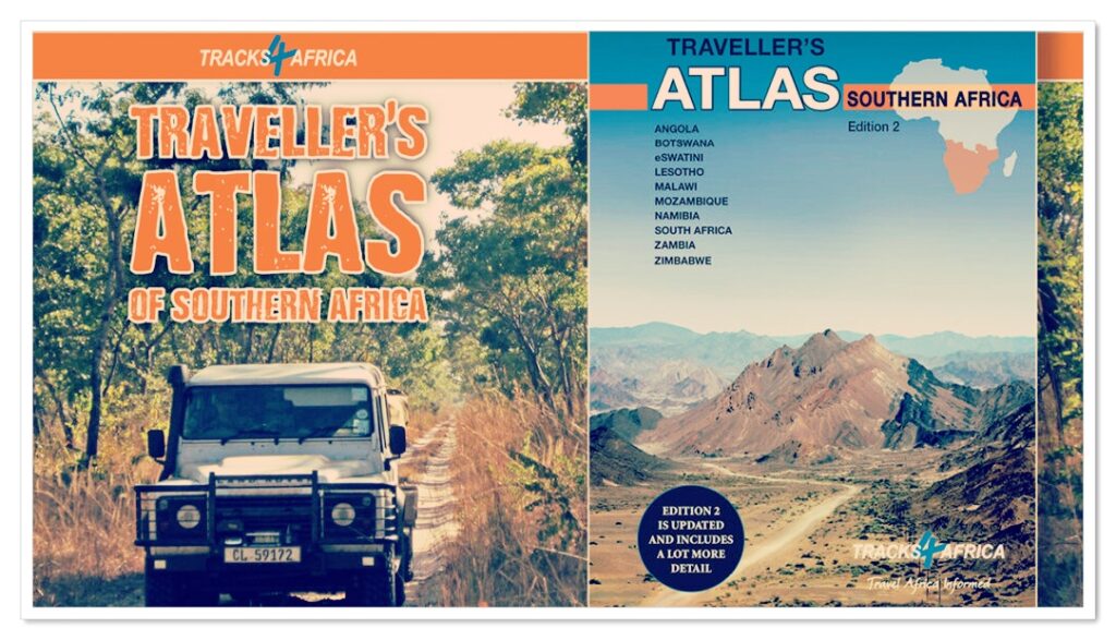
Tracks4Africa Wall Map of Southern Africa

(3 customer reviews)

R995.00

Our SOUTHERN AFRICA WALL MAP is printed at a scale of 1:2.5 million and matt laminated on both sides. The size of the final map is 1300 X 980 mm.

The map covers South Africa, Lesotho, eSwatini, Zimbabwe, Botswana and Namibia in full.  It also includes the majority of Mozambique up to Nampula.  A small section of southern Angola up to Lubango is included and the southern part of Zambia is covered up to Kabwe.  The southern tip of Malawi up to where the lake starts is also included.

Perfect for macro planning of road trips across Southern Africa up to Southern Angola.

Printed in full colour, all major and secondary roads are shown with national parks, towns, country borders, international airports and major tourist attractions are clearly visible. Includes a good number of tracks in remote areas.

Cancellation and Returns Policy.

Product Description

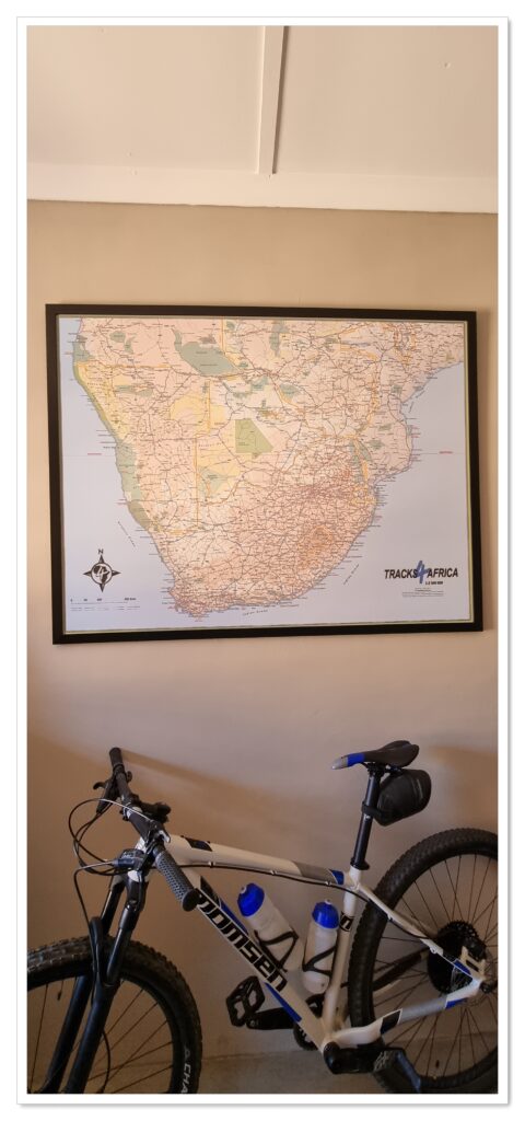
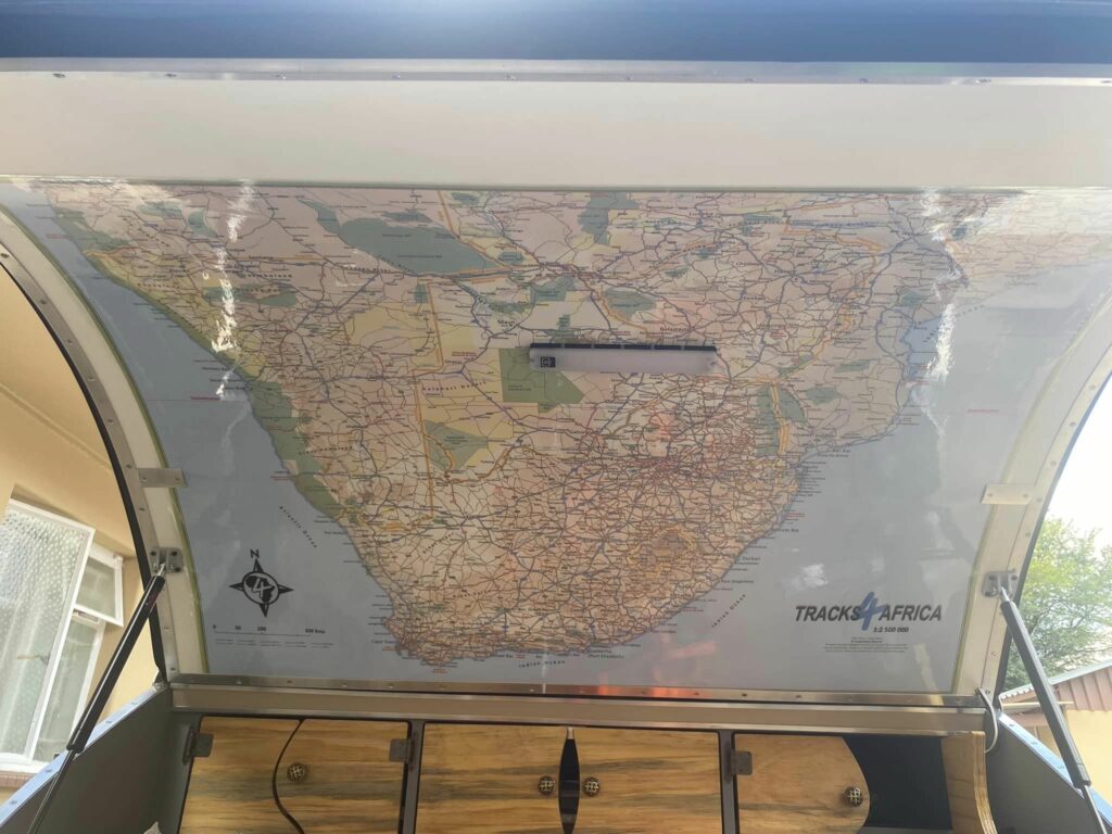
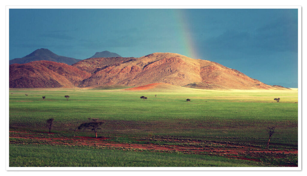
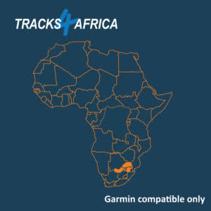
The Tracks4Africa Southern Africa Wall Map is printed to a scale of 1:2,5million and provides a surprising amount of detail to the self-drive traveller.  The map is perfect for macro planning of road trips across Southern Africa up to Southern Angola.  The map indicates major and secondary roads, parks, towns and a good number of tracks in remote areas.  International airports and land borders are indicated together with major tourist attractions.

The map covers South Africa, Lesotho, eSwatini, Zimbabwe, Botswana and Namibia in full.  It also includes the majority of Mozambique up to Nampula.  A small section of southern Angola up to Lubango is included and the southern part of Zambia is covered up to Kabwe.  The southern tip of Malawi up to where the lake starts is also included.

A few screenshots to give you an idea of what to expect from our wall map:

The Kruger National Park on this wall map:

The Kgalagadi on this wall map:


Additional Information

Weight 1766 g
Dimensions 109 × 9 × 9 cm
Title

Tracks4Africa Wall Map of Southern Africa Edition 1

Publication Date

2022

ISBN

978-1-77632-266-4

Scale

1:2.5million

Publishing House

Tracks4Africa

Coverage

A small section of southern Angola up to Lubango is included, South Africa, Lesotho, eSwatini, Botswana and Namibia in full, Southern part of Zambia is covered up to Kabwe, Southern tip of Malawi up to where the lake starts is also included, The majority of Mozambique up to Nampula

Size

1300x980mm

Printing Material

Printed on: 170gsm matt art paper, matt laminated 75mircon on both sides.

Packaging

Individually packaged in carton tube 1000x75mm with plastic caps on both ends

Some ideas of how we and our customers are using our SOUTHERN AFRICA wall map

Please email and share your ideas with us.


 Proudly displayed on the back/kitchen door of a Road Tripper Teardrop trailer.

Some travel inspiration


Exploring Zambia’s Mango Route


Uncovering Zimbabwe’s best overlanding spots


Why head to South Luangwa for wild dogs


Navigating Kruger on foot with a Garmin watch


See the Namib Rand like never before


Inside the Botswana Tour with Ultimate Adventures


10 Things to love about the new T4A Traveller’s Atlas


The Kgalagadi’s most secluded campsites


Exploring Rock Art in the Cederberg


Kgalagadi and Khutse Trip Report


How to book campsites in Botswana National Parks


Photo Blog: The Classic Botswana Experience


Photo Blog: Southern Namibia after the rains


The Allure of the Kenyan Coast


Photo Blog: Tracing the Zambezi in Southern Zambia


Soaking up the Nile’s charms at Murchison Falls


Photo Blog: Exploring Southern Namibia


Trip Report for Kafue National Park


Road Tripping with a theme


Nata Bird Sanctuary – a destination in its own right?


Traveller Tips for Serengeti and Ngorongoro


Favourite Camps in Namibia’s Zambezi Region (aka Caprivi)


Exploring Moremi with Overlanding Escape


Secret Zambia: Experience its wild waters


SHOULD YOU STAY AT MOREMI’S NORTH GATE OR KHWAI COMMUNITY CAMP?


The map behind the Voetspore Zambezi Expedition


10 Reasons to visit Zambia


3 reviews for Tracks4Africa Wall Map of Southern Africa

  1. Alan Gatley (verified owner)

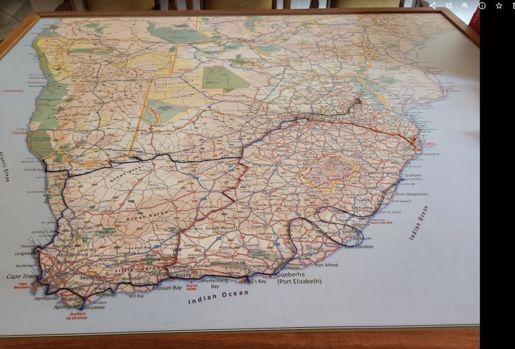
    A great product & a perfect addition to the Atlas. The wall Map gives you an overview which you can translate to the Atlas for all the amazing detail in the Atlas. Block mount the excellent quality wall map & mark all your trips to record all the places you visited. Once you have an overall plan on the wall map, have the finer details from the Atlas you translate the info to the latest T4A map on your GPS & you are all set to explore!

  2. Enrico Oosthuysen (verified owner)

    I love my Wall Map. Definitely lack finer detail, but it is meant for macro planning and dreaming about your bucket list. For micro planning I’ll use the online map. The scale 0-200km is incorrect. I would have loved more 3D effect for mountain ranges.

  3. Jacobus Diener (verified owner)

    Good quality paper and good size. Surely there are reasons, but some towns are omitted that I would have expected to be included in the map (Robertson, Bisho, Hogsback, Stellenbosch etc), meaning that for quick trip planning you need another map on hand.

    *Note that, indicated distance scale of the map is WAY off. I guess it should be 0 to 400 km instead of 0 to 200 km???*

Only logged in customers who have purchased this product may leave a review.