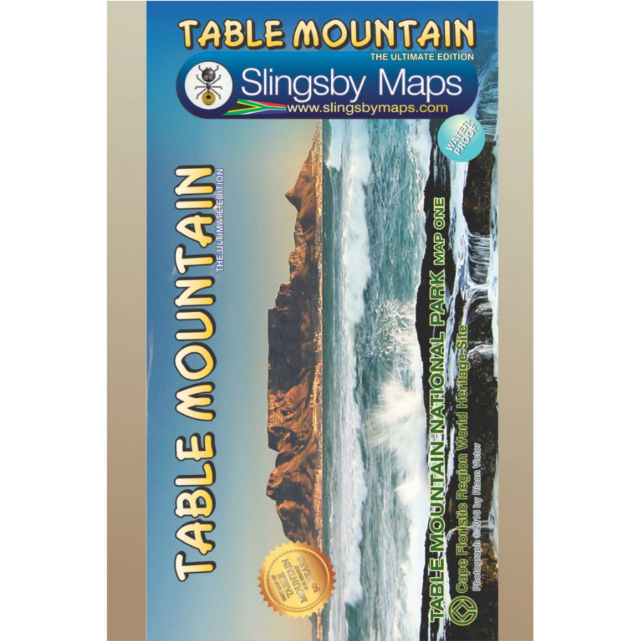

The Slingsby Table Mountain Paper Map is map 1 in our three-map series of the Table Mountain National Park.
Explore Every Path with Confidence
This highly detailed map displays all approved mountain paths and provides full GPS information. It also highlights the Hoerikwaggo and the People’s Trail, covering the area from Signal Hill to Devil’s Peak and from Llandudno to Constantia Nek and the Vlakkenberg Plateau.
Officially Endorsed for Accuracy
Rely on the only map of the mountain endorsed by Table Mountain National Park and approved by the Mountain Club of South Africa.
Discover More on the Reverse Side
The reverse side of the Slingsby Table Mountain Paper Map adds extra value with:
- A sketch from Maclear’s Beacon, naming prominent peaks on the eastern horizon and their distances.
- Written descriptions of 23 popular routes, complete with distances and approximate hiking times.
- Essential safety instructions, emergency contacts, and key details about the Cableway and the National Park.
Read the Terrain Clearly
Benefit from contour lines at 10m intervals and clear indications of vegetation and terrain types—such as renosterveld, grassland, fynbos, marshes, plantations, and gum belts. The map also marks Table Mountain National Park boundaries and the restricted Orange Kloof area.
Navigate Roads and Trails with Ease
Follow the detailed road network, including untarred public and private roads with pedestrian or mountain biking access. Signposts, parking areas, and key junctions include GPS waypoints. The Slingsby Table Mountain Paper Map also shows numerous hiking trails, warning you of dangerous or restricted sections.
Find Points of Interest at a Glance
Extensive overprint highlights picnic areas, benches, natural shelters, restaurants, drinking water sources, and recreational facilities. Both UTM grid lines (200m) and latitude/longitude lines (1’ intervals) make orientation simple.
Extra Features for Hikers
On the reverse side, explore concise descriptions of 23 hiking routes, each with estimated times, tourist information, and safety tips. You’ll also enjoy a panoramic view from Maclear’s Beacon, alongside sketches of local flora and fauna.
Key Features:
- Stay prepared with a waterproof and tear-resistant map, packaged in a protective plastic sleeve.
- First, trust its accuracy—this is the only map endorsed by Table Mountain National Park and approved by the Mountain Club of South Africa.
- Next, navigate confidently with the Table Mountain Hiking Map, since distances and estimated times appear for all paths above the Contour Path or Pipe Track.
- Moreover, read the landscape easily with contour lines at 10m intervals, along with clear indications of vegetation and terrain types.
- In addition, explore Table Mountain at a detailed 1:20,000 scale, featuring 23 well-marked hiking routes.
- Finally, benefit from a dual grid system on the Table Mountain Hiking Map, including latitude/longitude at 10” intervals and a 200m UTM grid.
- Discover updated accuracy—vanished paths are removed while new ones are carefully added.
- Enjoy improved access as the Three Firs, Oudekraal Ravine, and Constantia Corner routes are upgraded.
- Identify hazards quickly thanks to a clearer depiction of dangerous routes.
- Rely on full coverage of all approved paths, with DD MM SS GPS coordinates marking major junctions.
- Visualize the terrain effectively on the Table Mountain Hiking map with 10m contour lines enhanced by delicate colour height shading.
- Appreciate nature along the way with forty quality photos of prominent mountain flowers and line sketches of local flora and fauna.


 Tracks4Africa
Reviews
There are no reviews yet.