
Discover the Mighty Plains
Explore ancient seabeds where extraordinary fauna and flora thrive beneath peaks soaring over 2,000 metres. Navigate breathtaking passes and fantastic ravines using our Slingsby Tankwa-Karoo & Roggeveld Escarpment map. Meanwhile, discover a landscape steeped in history—from the first roads to diamond fields to lost gold-rush paths.
If you seek silence, you’ll find it here beneath vast, star-filled skies.
Experience Tankwa’s Remote Beauty
Tankwa calls to travellers who crave isolation and embrace lonely roads. With this double-sided, full-relief map, you’ll feel like a true explorer discovering uncharted territory. Moreover, clear road classifications guide you along gravel routes, helping you plan your adventure with complete confidence using the Tankwa-Karoo & Roggeveld Escarpment map.
Attractions and Adventures
In recent years, Tankwa has gained fame for its enchanting National Park and the annual AfrikaBurn festival. Delight in charming accommodation options and explore the high Roggeveld. Here, winter snow reveals hidden nooks and crannies.
Travel Prepared
The Slingsby Tankwa-Karoo & Roggeveld Escarpment Map region is wild and challenging. We recommend travelling with at least two well-equipped, high-clearance vehicles. Also, bring two spare wheels to fully enjoy the adventure.
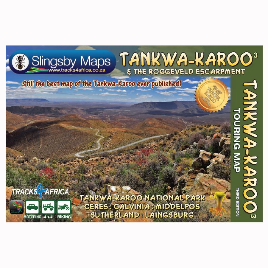
The First Detailed Map of Tankwa and Roggeveld
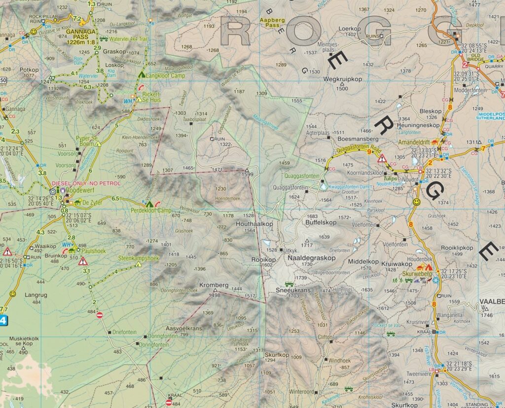
The Slingsby Tankwa-Karoo & Roggeveld Escarpment map is the first comprehensive map of the Tankwa and Roggeveld Escarpment. Created after we personally drove every road, it offers full-relief detail at a 1:200 000 scale. The map spans from the eastern Cederberg mountains in the west to the Roggeveld escarpment in the east. It covers the Tankwa-Karoo and the drier Ceres-Karoo.
From Calvinia in the north, it stretches south to Middelpos, Sutherland, and Laingsburg. Then it extends west to Touws River, Ceres, Op-die-Berg, and Wupperthal.
Key Features:
- Water and tear resistant in plastic sleeve.
- Explore all roads, from National Highways to minor gravel tracks, with clear classifications that help you plan your route
- Consult a special section dedicated to road information for added guidance
- See distances clearly, with 4×4 details and warnings where necessary on the Tankwa-Karoo & Roggeveld Map
- Access GPS coordinates in DD MM SS format at every road junction
- Discover all tourism facilities and accommodation options in out-of-town areas in the Slingsby Tankwa-Karoo & Roggeveld Escarpment Map
- Connect your journey seamlessly with our maps of the Cederberg, Swartberg, and Klein-Karoo


 Tracks4Africa
Reviews
There are no reviews yet.