
This latest edition of the Slingsby Cederberg Touring Map now extends northwards to the Hantam and Knersvlakte flower-fields – Vanrhynsdorp, Nieuwoudtville, Loeriesfontein and Calvinia.
After compiling extensive field research, we drove nearly every road and track. Along the way, we spoke with locals—farmers, researchers, and adventurers—gathering insights that make this map an essential, detailed companion for exploring the area.
Side One: Cederberg Highlights
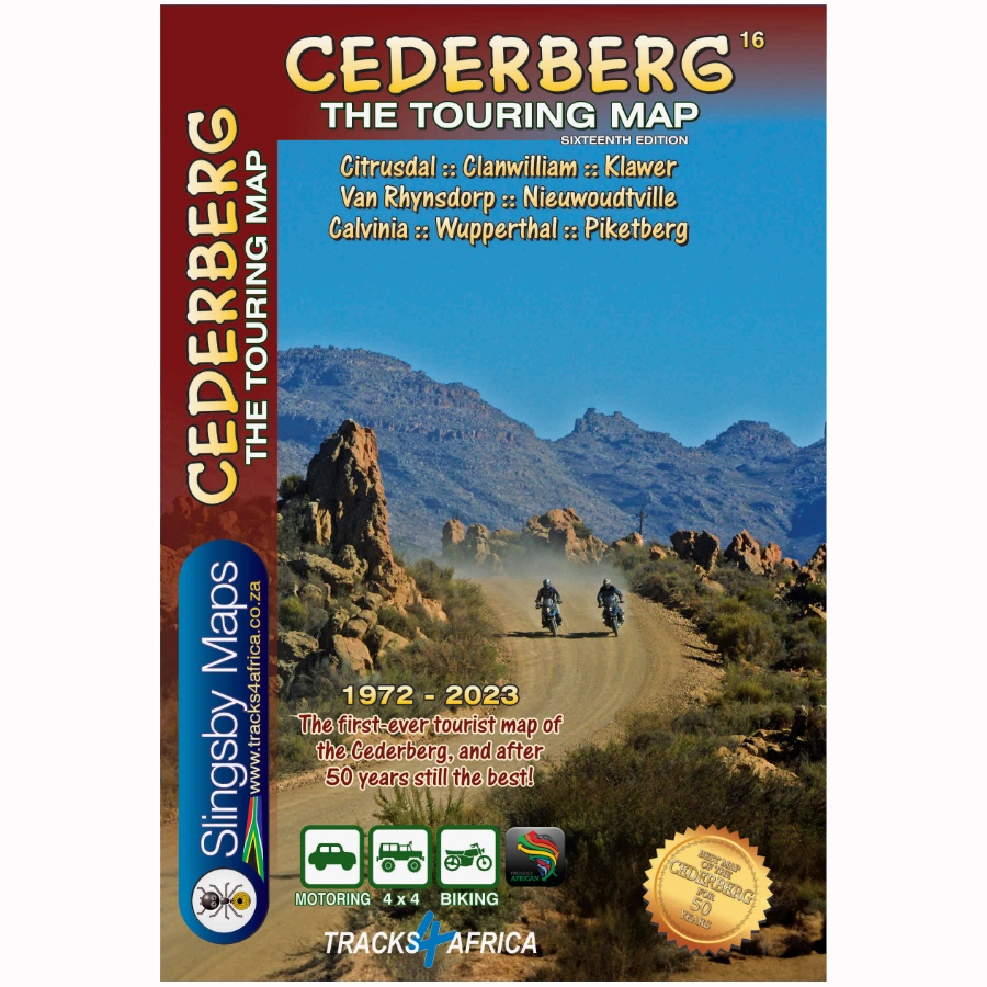
Explore the Cederberg from Gifberg in the north to Op die Berg in the south. This includes towns such as Clanwilliam, Citrusdal, Piketberg, Wupperthal, Porterville, and Eendekuil. The Slingsby Cederberg Touring Map is at a scale of 1:160,000. The map details the Cederberg and Koue Bokkeveld ranges with 20 m contour intervals, elevation coloring, and spot heights.
The map clearly differentiates roads by surface type, while marking private sections, mountain passes, petrol stations, and parking areas for easy navigation.
Attractions and Facilities
Use the Slingsby Cederberg Map to locate accommodation options, including hotels, lodges, B&Bs, hostels, campsites, and caravan parks. Additionally, find sports facilities such as golf, horse riding, mountain biking, paragliding, and climbing clearly marked. Additionally, hiking trails, game viewing, fossil sites, and other points of interest are included. GPS waypoints and a latitude/longitude grid at 5’ intervals aid navigation.
Side Two: Northern Extension
Continue your journey north to Loeriesfontein, Nieuwoudtville, Calvinia, Klawer, and Vanrhynsdorp. At 1:200,000, the map details the Bokkeveld Plateau, stretching from the Knersvlakte to the Hantam and Roggeveld, which forms the heart of South Africa’s spring flower wonderland.
Overview Map
Additionally, the Slingsby Cederberg Map provides a general West Coast overview at 1:1,500,000. It shows the mountains and coastal Sandveld. Towns, routes, and key points of interest are highlighted, including the Hantam National Botanical Garden near Nieuwoudtville.
Key Features:
- Water and tear resistant in plastic sleeve.
- Explore the Cederberg region with the Slingsby Cederberg Map: Bokkeveld Plateau extends north at 1:200,000.
- Easily navigate all roads, from national highways to 4×4 routes, with minor road conditions clearly indicated for both wet and dry weather.
- Access GPS coordinates at every major junction.
- Explore a range of attractions, including mountain biking, horse riding, hiking, river rafting, and golf, while also visiting nature reserves, farm stalls, historic sites, and wine estates.
- Locate tourism offices, police stations, and accommodations (lodges, backpackers, campsites) with contact numbers.
- Identify Wilderness Areas and conservancy boundaries.
- Reference the West Coast map (1:1,500,000) from Atlantic Ocean to Karoo. It covers Loeriesfontein to Moorreesburg.
- Explore a photographic map of the Cederberg mountains, where all prominent peaks are clearly labeled for easy reference.


 Tracks4Africa
Reviews
There are no reviews yet.