Description
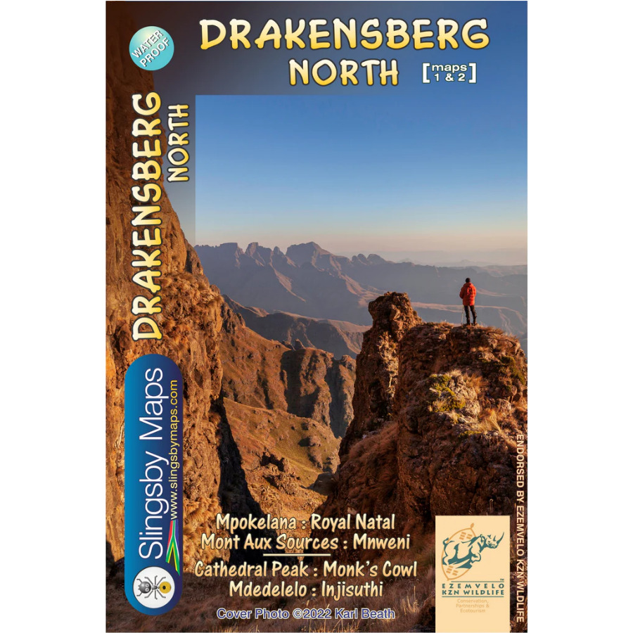
Data collected over many years has informed the latest edition of this first-ever recreational map of the northern KZN Drakensberg. Conceived in the mid 1970s this edition has been updated with carefully
geo-referenced tracks of all the approved routes, coordinates and heights of path junctions, difficulty-ratings for the escarpment passes and a host of other details – the details that make Slingsby maps unbeatable.


Reviews
There are no reviews yet.