Product Description
All-terrain GPS Navigator.
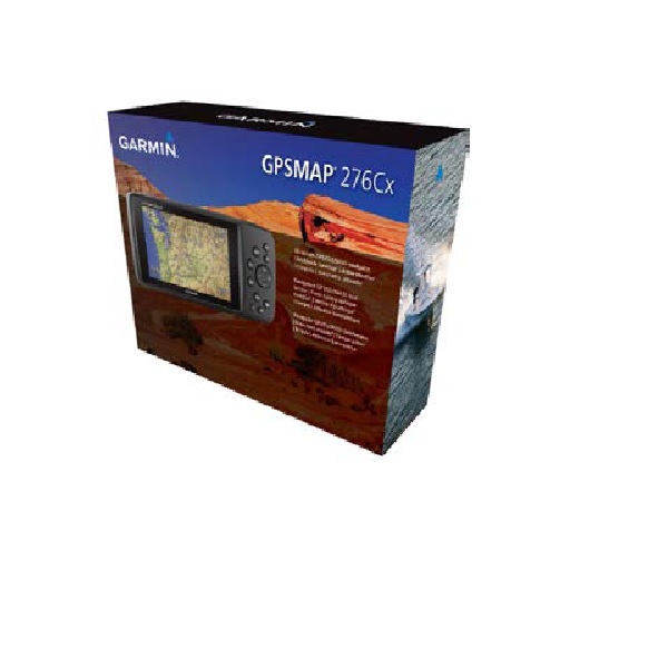
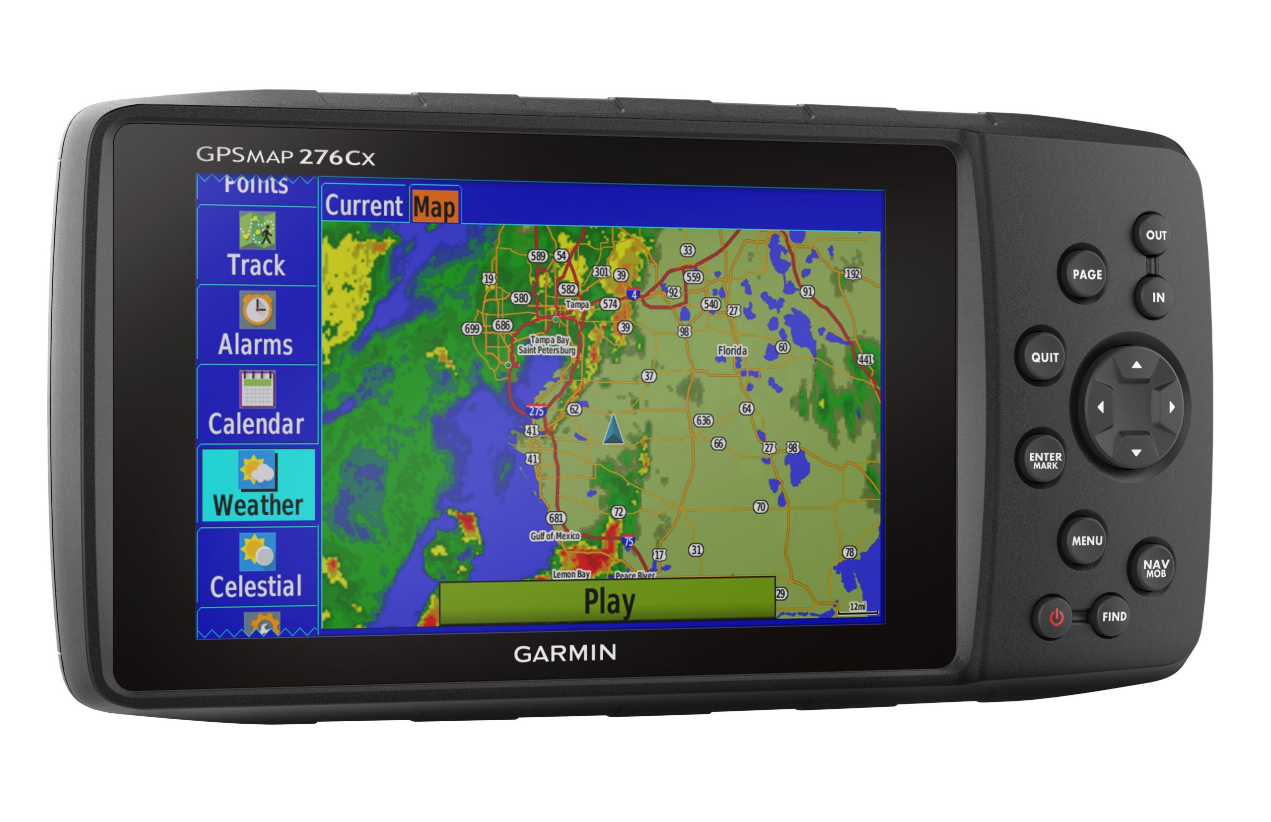
If you’re a jack-of-all-trades, you need a GPS navigator that’s as versatile as you are. Take a look at the GPSMAP 276Cx. With a large 5-inch display, versatile cartography, connected features and flexible power options, it has the capability to function the best way for you.
All-terrain GPS Navigator
- Internal antenna with GPS and GLONASS satellite reception for tracking in more challenging environments than GPS alone; for better reception in vehicle interiors add an external antenna (sold separately) to the built-in MCX connector
- Built-in worldwide basemap and free 1-year BirdsEye Satellite Imagery subscription
- Supports Garmin TOPO maps, Garmin HuntView™ maps, BlueChart® g2 HD marine charts and more
- Supports Active Weather forecasts and animated weather tracking
- Pairs with your compatible smartphone for automatic uploads, smart notifications and more

Read Tracks4Africa Blog: THE GPSMAP 276 LEGEND IS BACK
- Your maps will never expire and will continue working after the 5 year period. Read more here.
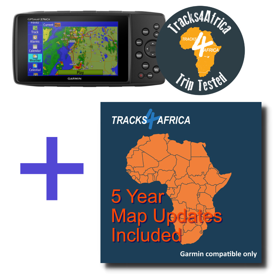
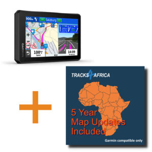
NOTE: The Tracks4Africa GPS maps are NOT preloaded onto the unit.
GENERAL
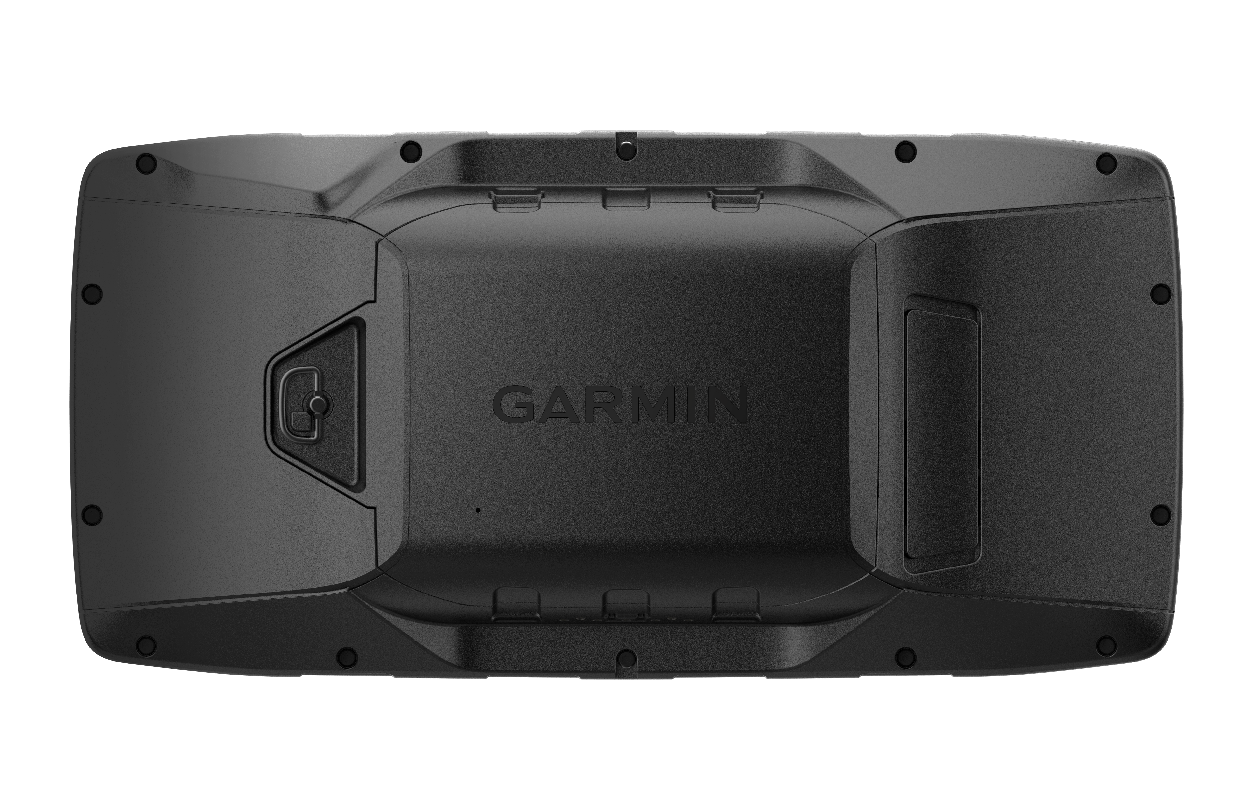
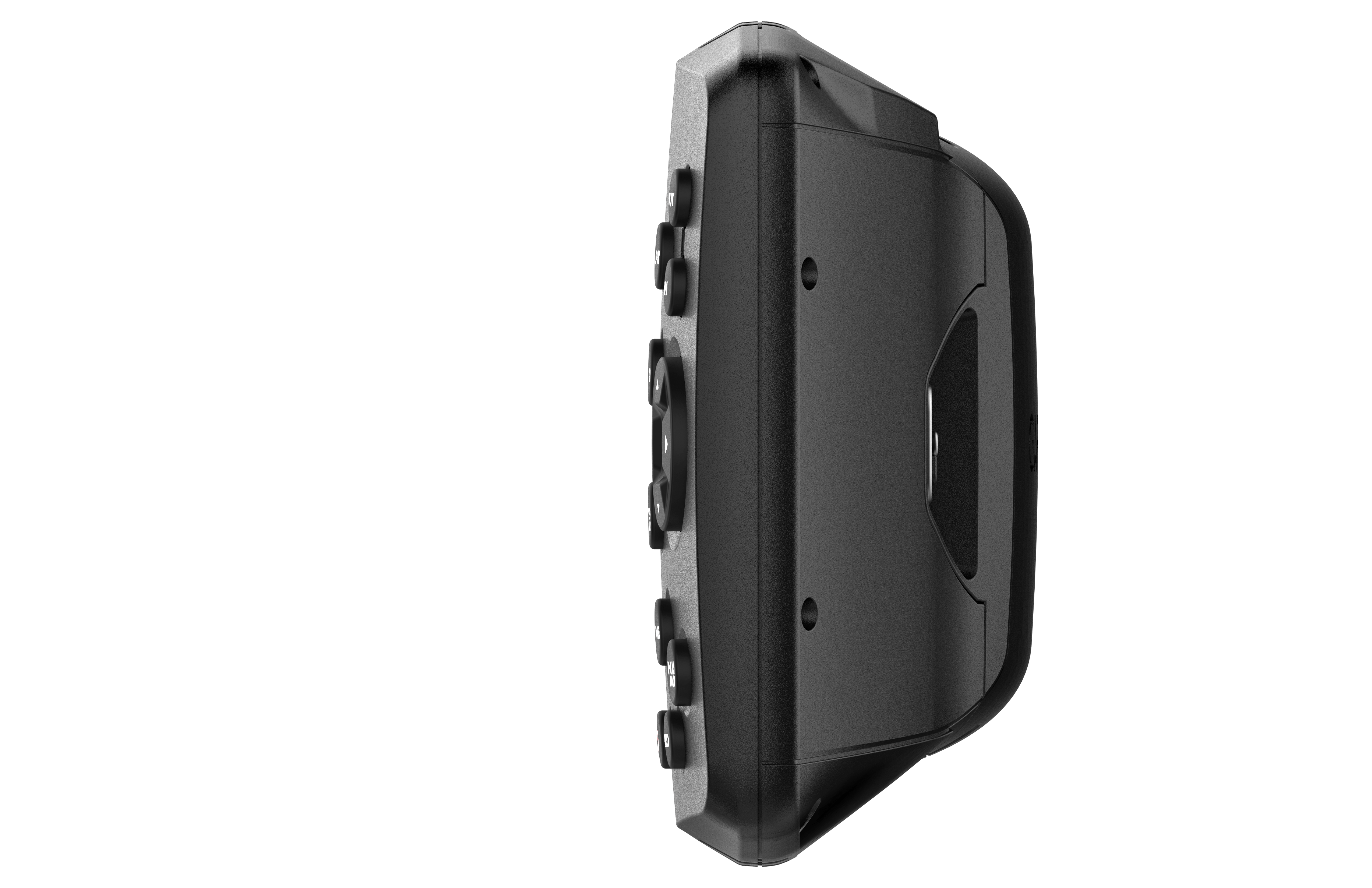
Physical Dimensions: 19.05 x 9.40 x 4.32 cm
Display Size: 127.0 mm
Display Resolution: 800 x 480 pixels
Display Type: bright, sunlight readable WVGA display
Weight: 450g with included rechargeable pack; 14.6 oz (415 g) with AA batteries (not included)
Battery Type: rechargeable lithium-ion (included) or 3 AA batteries (not included); NiMH or Lithium recommended
Battery Life: up to 16 hours (lithium-ion) up to 8 hours (AA batteries)
Water Rating:
High-Sensitivity Receiver: Yes
Interface: high speed mini USB and NMEA 0183 compatible
Memory/History: 8 GB (6 GB available to use)
MAPS&MEMORY:
Preloaded Maps: Yes
Compatible with Tracks4Africa Maps: Yes
Basemap: Yes
Automatic Routing (Turn by turn routing on roads): Yes (with optional mapping for detailed roads)
Map Segments: 15000
Birdseye: 250 BirdsEye Imagery files
External Memory Storage: yes (32 GB max microSD™ card – not included)
Waypoints/Favourites/Locations: 10,000
Tracks: 250
Track Log: 20000 points, 250 saved tracks
Routes: 250, 250 points per route; 50 points auto routing
SENSORS:
GPS: Yes
Glonass: Yes
Barometric Altimeter: Yes
Compass: Yes
OUTDOOR RECREATION:
Point-to-Point Navigation: Yes
Compatible with Basecamp™: Yes
Area Calculation: Yes
Hunt/Fish Calendar: Yes
Sun and Moon Information: Yes
Custom Maps Compatible: yes (500 custom map tiles
CONNECTIONS:
Wireless Connectivity: yes (Wi-Fi®, BLUETOOTH®, ANT+®)
- GPSMAP 276Cx
- 1 year BirdsEye Satellite Imagery subscription1
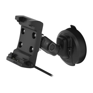
- AMPS powered mounting bracket with marine bail mount
- Lithium-ion rechargeable battery pack
- USB cable
- AC charger
- Documentation
Note: Tracks4Africa GPS Maps 5 Year subscription is sent as a downloadable link to our PC for installation onto your Garmin GPS device.
Only logged in customers who have purchased this product may leave a review.




Reviews
There are no reviews yet.