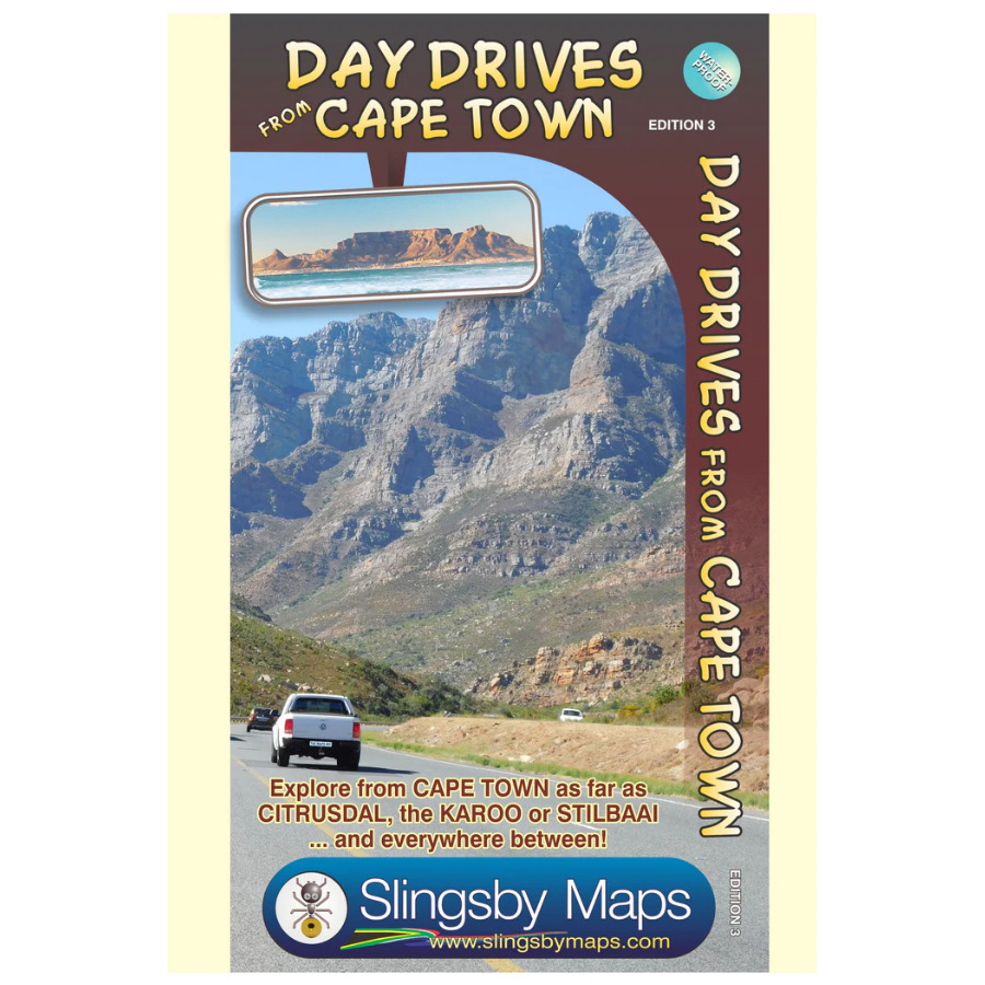


Our Day Drives from Cape Town map is the most comprehensive map available of the heartland of the Western Cape.
Side 1: Cape Town to the West Coast
Explore from Cape Town up the West Coast to Velddrif. Cross via Aurora and Piketberg to Citrusdal and the Kouebokkeveld. Travel east to Ceres, Worcester, Stanford, and Gansbaai. A handy Cape Peninsula enlargement at a 1:200 000 scale helps with detailed navigation.
Side 2: Tankwa to Cape Agulhas
Flip the Slingsby Day Drives from Cape Town map and continue your journey through Touwsrivier to Laingsburg and the southern Tankwa. Head south via Calitzdorp, Ladismith, and Riversdale to Stilbaai. Then travel west to Cape Agulhas, Napier, McGregor, and Robertson—discovering top destinations along the way.
Key Features:
- Start with a waterproof, tear-resistant map in a protective plastic sleeve
- Next, explore top tourist attractions and scenic routes, marked with smiley faces
- Then, follow all tar and gravel roads with accurate distance markers
- In addition, use GPS coordinates at every major junction (DDMMSS format)
- Moreover, enjoy plotted activities like mountain biking, hiking, horse riding, river rafting, golf, and more
- Plus, discover nature reserves, farm stalls, historic sites, and other key attractions
- Finally, choose from a wide range of accommodation, from lodges and backpackers to campsites


 Tracks4Africa
Reviews
There are no reviews yet.