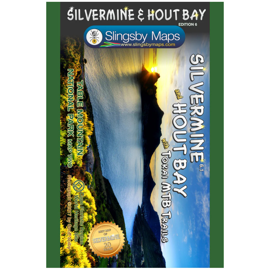


Description
The Slingsby Silvermine & Hout Bay Paper Map is paper map two in our three-map series of Table Mountain National Park.
Part of the Slingsby Walking Map Series
This title forms part of Slingsby’s renowned series of high-quality, detailed walking maps. Each edition showcases excellent cartography and provides rich tourist information to guide your adventures.
Brand-New Edition with DEM Relief Shading
The Slingsby Silvermine & Hout Bay Paper Map is now featuring DEM relief shading. This new edition reflects all the latest changes to the area. It displays every approved path with full GPS information and highlights the Hoerikwaggo Trail. Moreover, it introduces detailed routes for mountain bikers.
Silvermine Side
The Silvermine side covers the Silvermine Reserve. It stretches from Constantiaberg to Tokai, Zandvlei, Kalk Bay, the Fish Hoek Valley, Ou Kaapseweg, and Noordhoek/Chapman’s Peak.
Hout Bay Side
The reverse side of the Silvermine & Hout Bay Paper Map highlights Hout Bay, Karbonkelberg, Llandudno, Constantia Nek, and extends south to the Silvermine Reservoir.
Clear Cartography and Useful Symbols
Contour lines appear at 10m intervals with altitude colouring for clarity. Roads indicate restricted access, while highlighted footpaths show waymarked routes. They also mark sections that are unsafe or not recommended. Symbols point out essential visitor information, including car parks, viewpoints, signposts, toilets, picnic areas, attractions, and recreational facilities.
Precision for Navigators
The Silvermine & Hout Bay Paper Map provides UTM grid lines at 200m intervals and latitude/longitude at 1-minute intervals. It also includes GPS waypoints for key road junctions and other important locations. This ensures accuracy and confidence on every journey.
Key Features:
- Part of Slingsby’s renowned walking map series with expert cartography and tourist info
- Double-sided, 1:20,000 scale, printed on waterproof, tear-resistant synthetic paper
- Features the scenic Constantia Winelands
- Shows every section of the Hoerikwaggo Trail
- Marks all approved paths with GPS coordinates, distances, and walking times
- Highlights terrain with 10m contours and subtle colour shading


 Tracks4Africa
Linda Howe-Ely (verified owner) –
I love the detail and information in this map. I especially enjoy the historical references. There are many paths in this area so it helps to be able to see them clearly. The map is waterproof and comes in a sturdy cover which is very practical.