Product Description
Files are uploaded as a single Zip file. PLEASE BE PATIENT; LARGE FILES TAKE TIME TO LOAD. Download size: 58Mb
After you have made your checkout payment [or we’ve received your POP for your EFT], you’ll get an automatic email with download instructions. Simple as that! [but be aware that some files are large, so allow plenty of time for the download!]. The jpg files are not password protected.
You will be allowed a maximum of two downloads per product [Zip file] purchased.
IMPORTANT NOTES ABOUT DIGITAL MAPS
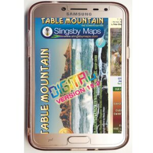
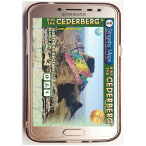
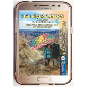
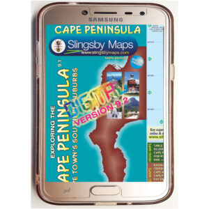
1. Our digital maps are effectively snapshots of our paper maps. They are not interactive [enlargement does not reveal greater detail] nor does removing elements, eg title pane, reveal more mapped area. That said, they can be enlarged or reduced to the limits of their resolution [300 dpi] with complete flexibility.
2. We recommend the use of JPGs on smart phones. iPHONES: We have recently been made aware that some iPhones store picture content in the Cloud, not on the phone, necessitating downloads every time you want to use the map. Seems that Apple wasn’t thinking about the vast areas of the earth with no wifi or phone reception. Work around this by installing a flash memory card in your phone if possible, so that the maps are always immediately available. This problem does not seem to occur on Android and other phones, as far as we know. Any info from users would be very helpful!
3. Please remember our recommendation: that you download your digital purchases to a laptop or other hard drive before transferring them [if required] to a tablet or smartphone.
4. Please note that digital products are NOT RETURNABLE! How could we possibly know whether they have been completely erased from all your devices? Please be fair!
This full-relief map covers, at a scale of 1:200 000, the great 300km sweep of the Transkei Wild Coast, from East London in the south to Port Edward in the north. It covers the whole area from the coast to the N2 as far north as Mthatha, including the mighty Bawa Falls, the unbelievable Collywobbles, and the Mandela Museum at Qunu. The complex geog- raphy of the Wild Coast has always made access difficult – this is the map that has been designed to make exploration possible.
Special navigation features include:
- All roads from National Highways to minor gravel roads: 10 classifications that indicate the quality of each road, helping you to plan your route
- Distances clearly shown between road-junctions, and GPS coordinates for every roadjunction
- Specific landmarks in a land where road-signs are few and far between
- These landmarks include schools, clinics, stores, radio masts and all the police stations, with their telephone numbers
- Airstrips
- The very latest information about the route of the N2 Toll Road
- The Nelson Mandela Legacy Bridge and the tarred road to Mvelo is shown
- All tourism accommodation, as well as the telephone numbers
- A large range of facilities from hiking opportunities to horse riding, mountain biking, surfing, fishing
- Nearly one hundred shipwrecks, many with brief notes about what happened there
- The size of the catchments of the major rivers, as well as the heights of selected waterfalls
- Important battlefields from the wars of the 19th Century
Additional info:
Wild Coast area of South Africa’s Indian Ocean coast between East London and the KwaZulu-Natal border, presented at 1:200,000 on an excellent, waterproof and tear-resistant, double-sided, contoured and GPS compatible map.
The map is packed with every conceivable kind of tourist information, yet remains clear and easy to read. Road network is shown on a contoured base (interval 20m) with altitude colouring and spot heights for main hills. Eight different types of roads indicate surface, conditions in wet weather, and public access. Scenic routes are highlighted, petrol stations
are marked and GPS waypoints are given for important junctions. Local tracks, recognized hiking routes are marked and railways are shown with local stations. Symbols depict a wide range of features: accommodation from hotels to tent camping, restaurants and picnic sites, arts and craft centres, game and bird watching sites, a wide range of sport and recreational sites and facilities, missions and churches, medical facilities, etc. On the coast itself, along with numerous accommodation and leisure facilities, sites of shipwrecks are indicated, with dates when sunk. Latitude and longitude lines are drawn at 5’ intervals.
An inset provides an overview of the main roads joining the coast with the N2 highway, whilst four enlargements show popular areas in greater detail: the Jikeleza Route with the Inkwenkwezi game reserve; the area around Morgan Bay and Kei Mouth; the coast around Coffee Bay; plus the surroundings of Port St Johns. There is also a small inset of the Mgawa Falls and a street plan of Chintsa East.
Dylan Evans (verified owner) –
Great map highlighting the many beautiful places that the Wild Coast has to offer.