


Product Description
Botswana Traveller’s Paper Map 4th Edition
The Tracks4Africa Botswana paper map, now in its 4th edition, is designed to be used in conjunction with the T4A GPS Map of Botswana. It is the largest available Botswana map at 1:1,000,000 scale, offering you the perfect trip planning tool for your next Botswana holiday.
This T4A paper map series are probably the first comprehensive country maps in the world, offering travel time information for the entire road network, be it on tar, gravel or sand!
Key features:
- Printed on tear proof and water resistant Polyart
- Published April 2016
- Scale 1:1,000,000 (1cm = 10km)
- All roads have been driven by the Tracks4Africa Community
- Map key included
- Map index included
- Detailed vector maps of the Okavango Delta, Mabuasehube, Savuti, Gaborone, Maun, Kasane, Khwai East and West
- Travel information like border post red tape, camping etiquette, driving in Botswana, fuel, useful contact numbers etc.
- Distances and travel times between towns are indicated
- Main services indicated with icons in main towns
- Border Controls with opening and closing times
- Detailed maps eg. Gaborone
The roads, tracks, places of interest as well as the distance data and travel time estimates on the map reflect the collective travel experience of the Tracks4Africa community of travellers over the past 10 years, with every single road being GPS recorded and verified by this community.
No need to transfer GPS coordinates from the map to your GPS as everything you see on the map is contained in our T4A GPS Maps. Our maps offer the most comprehensive coverage of tourist destinations in Botswana. Use T4A GPS Maps to navigate you to all the destinations you see on this country map.
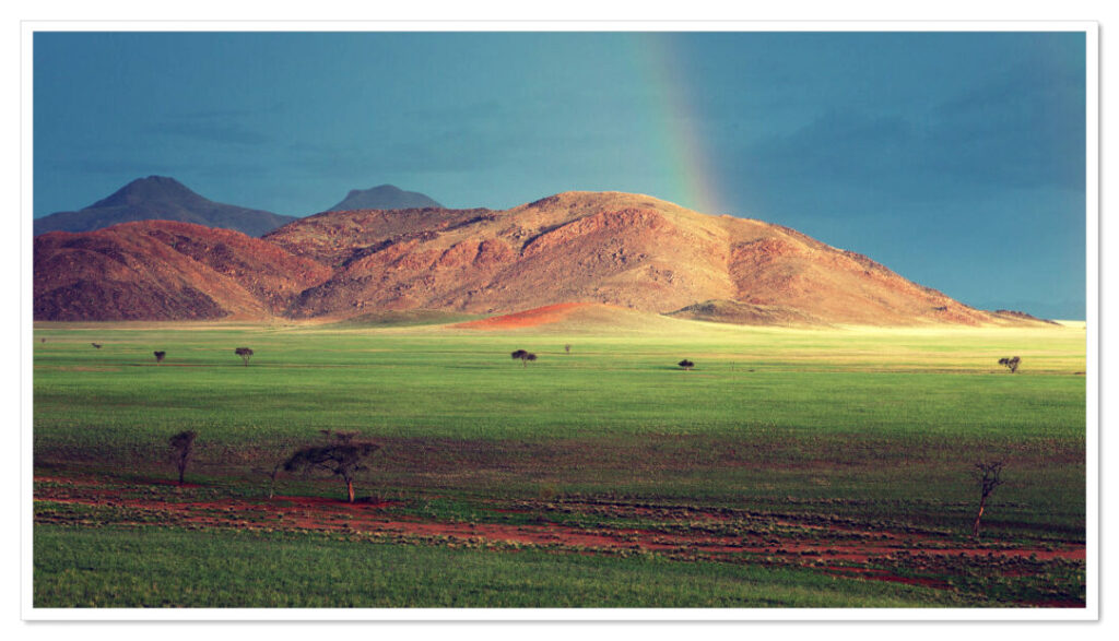
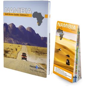
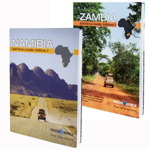
Namibia Traveller’s Paper Map 5th Edition
The Tracks4Africa Namibia paper map is designed to be used in conjunction with the T4A GPS Map of Namibia. It is the largest available Namibia map at 1:1,000,000 scale, offering you the perfect trip planning tool for your next Namibian holiday.
This T4A paper map series are probably the first comprehensive country maps in the world, offering travel time information for the entire road network, be it on tar, gravel or sand!
Key features:
- Large 1:1,000,000 scale
- Published in 2017
- Travel times and distances included on the map
- What you see on the paper map is exactly what you get on T4A GPS Maps
- Comprehensive set of roads and tracks in nature reserves
- Detailed information on camp sites and attractions
- Border crossings indicated with opening and closing times
- Visit www.tracks4africa.com for detail on places of interest
- Kaokoland in great detail with all off road tracks shown
- Detailed maps for Swakopmund and Windhoek
- Each town is shown with up to date tourist services information
- Shaded relief to accentuate mountains and other topographical features.
The roads, tracks, places of interest as well as the distance data and travel time estimates on the map reflect the collective travel experience of the Tracks4Africa community of travellers over the past 10 years, with every single road being GPS recorded and verified by this community.
No need to transfer GPS coordinates from the map to your GPS as everything you see on the map is contained in our T4A GPS Maps. Our maps offer the most comprehensive coverage of tourist destinations in Namibia. Use T4A GPS Maps to navigate you to all the destinations you see on this country map.
Mozambique & Malawi Traveller’s Paper Map 2nd Edition
The Tracks4Africa Mozambique and Malawi paper map, now in its 2nd edition, is designed to be used in conjunction with the T4A GPS Map of Mozambique and Malawi. It is the largest available map of these two countries at 1:1,000,000 scale, offering you the perfect trip planning tool for your next Mozambican/Malawian holiday.
This T4A paper map series are probably the first comprehensive country maps in the world, offering travel time information for the entire road network, be it on tar, gravel or sand!
Key features:
- Printed on tear proof and water resistant Polyart
- Published 2017
- Scale 1:1,000,000 (1cm = 10km)
- All roads have been driven by the Tracks4Africa Community
- Map key included
- Map index included
- Distances and travel times between towns are indicated
- Main services indicated with icons in main towns
- Border Controls with opening and closing times
- Locations of campsites/lodges, attractions etc. included
The roads, tracks, places of interest as well as the distance data and travel time estimates on the map reflect the collective travel experience of the Tracks4Africa community of travellers over the past 10 years, with every single road being GPS recorded and verified by this community.
No need to transfer GPS coordinates from the map to your GPS as everything you see on the map is contained in our T4A GPS Maps. Our maps offer the most comprehensive coverage of tourist destinations in Mozambique and Malawi. Use T4A GPS Maps to navigate you to all the destinations you see on this country map.
Zambia Paper Map 1st Edition
Tracks4Africa maps are built for the self-drive traveller and is packed with information that will enable you to plan your next adventure. The Tracks4Africa Zambia paper map is designed to be used in conjunction with the T4A GPS Map of Zambia.
The map scale is 1:1 000 000 which gives you enough detail but also allows for an overview of the country. The map is printed on PolyArt which is tear and water resistant and will survive your adventures with you.
This Tracks4Africa paper map series are probably the first comprehensive country maps in the world, offering travel time information for the entire road network, be it on tar, gravel or sand!
Tracks4Africa CEO, Johann Groenewald, has spent the last nine years exploring all corners of this evergreen country and fell in love with its unspoilt beauty.
The Tracks4Africa paper map of Zambia was bound to be published sooner or later. We updated our GPS maps for years on end and have send in many research parties to update the minor roads and tracks in the parks of Zambia. This 1:1million scale map of Zambia is now the most up to date printed map for the self-drive traveller available.
You will find that all major and minor roads are included together with a vast network of minor gravel and off-road tracks in the rural areas. All national parks and game reserves are covered and more prominent parks such as the Kafue, Liuwa Plain and South Luangwa has detailed inserts. We have also shown the locations of major tourist attractions and land marks.
Zambia’s country shape does not lend itself to be printed on one side of a our standard paper size. We aim to bring a lot of detail into our maps and therefor we print country maps on a scale of 1:1 million which necessitates the country to be split in east and west sides and printed on both sides of the paper.
This allows enough additional space to include the very popular areas adjacent to Zambia such as Katima Mulilo in Nambia, Kasane and Chobe in Botswana, Victoria Falls and Mana Pools in Zimbabwe.
Key features:
- Large 1:1,000,000 scale (large double-sided map)
- Published: 2020
- Travel times and distances shown on roads
- Large paper map, printed on both sides folds down to easy to use size. Packed in a plastic sleeve for extra protection.
- What you see on the paper map is exactly what you get on T4A GPS Maps
- Comprehensive set of roads and tracks in nature reserves
- Map designed to suit the needs of self-drive travellers
- Border crossings indicated with opening and closing times
- Visit www.tracks4africa.com for detail on places of interest
- Printed on tear and water resistant PolyArt paper suitable for outdoor use
- Shaded relief background
The roads, tracks, places of interest as well as the distance data and travel time estimates on the map reflect the collective travel experience of the Tracks4Africa community of travellers over the past 10 years, with every single road being GPS recorded and verified by this community.
In addition to this the Tracks4Africa research team has also driven every major road and visited every single park in the country to verify details.
No need to transfer GPS coordinates from the map to your GPS as everything you see on the map is contained in our T4A GPS Maps. Use T4A GPS Maps to navigate you to all the destinations you see on this country map.
South Africa Traveller’s Paper Map 2nd Edition (incl Lesotho & Swaziland)
Tracks4Africa maps are built for the self-drive traveller and is packed with information that will enable you to plan your next adventure. The Tracks4Africa South Africa paper map is designed to be used in conjunction with the T4A GPS Map of South Africa.
The South Africa map also includes Lesotho and Swaziland. The map scale is 1:1 000 000 which gives you enough detail but also allows for an overview of the country. The map is printed on PolyArt which is tear and water resistant and will survive your adventures with you.
This Tracks4Africa paper map series are probably the first comprehensive country maps in the world, offering travel time information for the entire road network, be it on tar, gravel or sand!
Key features:
- Large 1:1,000,000 scale (large double-sided map)
- Published: 2018
- Travel times and distances shown on roads
- Large paper map, printed on both sides folds down to easy to use size. Packed in a plastic sleeve for extra protection.
- What you see on the paper map is exactly what you get on T4A GPS Maps
- Comprehensive set of roads and tracks in nature reserves
- Map designed to suit the needs of self-drive travellers
- Border crossings indicated with opening and closing times
- Visit www.tracks4africa.com for detail on places of interest
- Printed on tear and water resistant PolyArt paper suitable for outdoor use
- Shaded relief background
The roads, tracks, places of interest as well as the distance data and travel time estimates on the map reflect the collective travel experience of the Tracks4Africa community of travellers over the past 10 years, with every single road being GPS recorded and verified by this community.
No need to transfer GPS coordinates from the map to your GPS as everything you see on the map is contained in our T4A GPS Maps. Use T4A GPS Maps to navigate you to all the destinations you see on this country map.
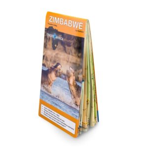
Zimbabwe Traveller’s Paper Map 1st Edition
This is the first edition of our Zimbabwe paper map; however, we have been publishing map data for this country in our atlas and various digital format for decades. The map is presented at a scale of 1:1000 000 and printed on the durable PolyArt medium, like our other country maps.
When unfolded this map is 1000x1265mm.
Zimbabwe has been the overlanding jewel of Southern Africa for decades and we do not know why it took us so long to get to a dedicated paper map for this popular destination. Now you can plan your overlanding trip to Zimbabwe with a high detail map indicating places of interest, national parks, towns with services and all the roads connecting them. As with our other maps in the country map series, Zimbabwe paper map also features time and distance indicators on roads which allows for easy trip planning.
- Large 1:1,000,000 scale (large double-sided map)
- Published: 2023
- Travel times and distances shown on roads
- Large paper map, printed on both sides folds down to easy to use size. Packed in a plastic sleeve for extra protection.
- What you see on the paper map is exactly what you get on T4A GPS Maps
- Comprehensive set of roads and tracks in nature reserves
- Map designed to suit the needs of self-drive travellers
- Border crossings indicated with opening and closing times
- Visit www.tracks4africa.com for detail on places of interest
- Printed on tear and water resistant PolyArt paper suitable for outdoor use
- Shaded relief background
The roads, tracks, places of interest as well as the distance data and travel time estimates on the map reflect the collective travel experience of the Tracks4Africa community of travellers over the past 10 years, with every single road being GPS recorded and verified by this community.
No need to transfer GPS coordinates from the map to your GPS as everything you see on the map is contained in our T4A GPS Maps. Use T4A GPS Maps to navigate you to all the destinations you see on this country map.


Richard Poulter (verified owner) –
A very good deal. However the large sizes of the maps make them a bit impractical particularly when touring. I find I am always folding them into different squares to see the areas I want.
I bought these as a present for a UK visitor who is touring SA, Namibia and Botswana shortly.
Working on a laptop with T4A is much easier and more informative. However whenever my Garmin gives non-sensical directions I have been resorting to the paper maps to find my way. So they definitely have a place.