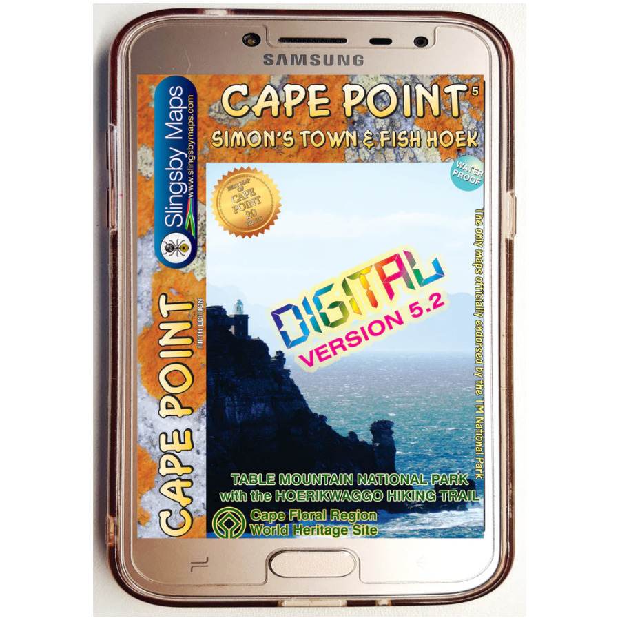
Product Description
After you have made your checkout payment [or we’ve received your POP for your EFT], you’ll get an automatic email with download instructions. Simple as that! [but be aware that some files are large, so allow plenty of time for the download!]. The jpg files are not password protected.
Our digital maps are supplied in 300 dpi jpg format. Files are uploaded as a single Zip file. PLEASE BE PATIENT; LARGE FILES TAKE TIME TO LOAD. Download size: 28Mb
You will be allowed a maximum of two downloads per product [Zip file] purchased.
IMPORTANT NOTES ABOUT DIGITAL MAPS
1. Our digital maps are effectively snapshots of our paper maps. They are not interactive [enlargement does not reveal greater detail] nor does removing elements, eg title pane, reveal more mapped area. That said, they can be enlarged or reduced to the limits of their resolution [300 dpi] with complete flexibility.
2. iPHONES: We have recently been made aware that some iPhones store picture content in the Cloud, not on the phone, necessitating downloads every time you want to use the map. Seems that Apple wasn’t thinking about the vast areas of the earth with no wifi or phone reception. Work around this by installing a flash memory card in your phone if possible, so that the maps are always immediately available. This problem does not seem to occur on Android and other phones, as far as we know. Any info from users would be very helpful!
3. Please remember our recommendation: that you download your digital purchases to a laptop or other hard drive before transferring them [if required] to a tablet or smartphone.
4. Please note that digital products are NOT RETURNABLE! How could we possibly know whether they have been completely erased from all your devices? Please be fair!
The Simon’s Town side covers the area from Kommetjie to Fish Hoek/Kalk Bay and south to Glencairn, Simon’s Town and Miller’s Point, and west to Red Hill, Scarborough and Witsand.
- All approved paths, with detailed DDMMSS GPS coordinates for major junctions, are clearly marked with distances and approximate times for each path section
- Five metre contours and delicate colour height shading bring the topography to life
- The map includes photos and notes about points of interest, with a fascinating topo graph showing distances and directions to major cities around the world
- Hydrographic information kindly supplied by the SA We believe that this is the first time that a detailed South African land map has included information about the sea floor, rocks and wreck hazards offshore
Additional info:
Cape Point and the southern half of the Cape Peninsula and the Table Mountain National Park including Si- mon’s Town, on a double-sided, contoured, GPS compatible map at 1:20,000 with hiking trails and a wealth of other tourist information.
The map has contours at 5m intervals, enhanced by additional colouring for woodlands and sandy areas, with numerous spot heights and names of various topographic features.
Boundaries of nature protective areas and restricted entry zones are clearly marked.
Road network indicates private roads with or without public access, signposts, parking areas, etc. Hiking trails are annotated with distances and walking times, and show approved or not recommended sections. Extensive overprint highlights numerous facilities and places of interest including drinking water points, viewpoints, sport and recreational sites, best animal watching places, campsites and other tourist accommo- dation, restaurants, etc.
The map has numerous GPS waypoints for road junctions and other important locations, plus UTM grid lines at 200m intervals and latitude/longitude lines at 1’ intervals.
The map is illustrated by colour photos of local fauna and flora and has additional notes with tips for visitors.
Reviews
There are no reviews yet.