Description
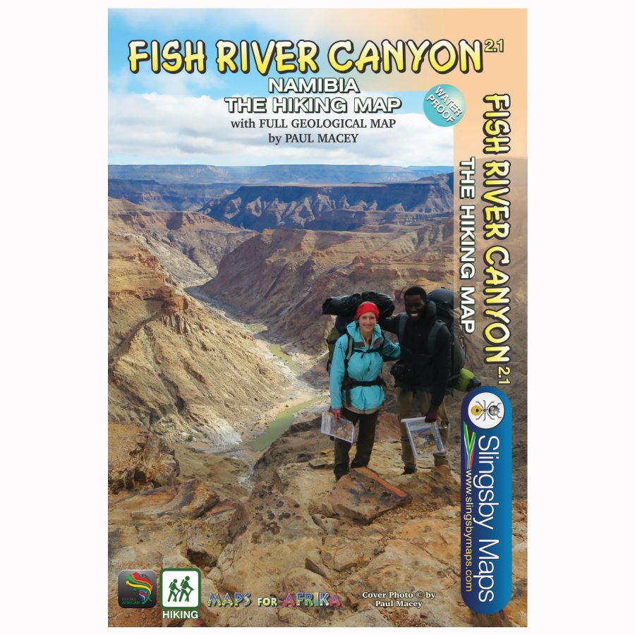
Data collected over four years has informed the content of this first-ever detailed topo map of the world-famous Namibian canyon. The map shows the suggested sides of the river to hike on, all the short-cuts, the usually-perennial pools, suggested overnight spots, etc etc. The maps include distances both down the river and along the recommended route, as well as GPS coordinates, altitudes, etc etc.
We can proudly claim that this is the best and most definitive hiking map of the Fish River Canyon ever produced.





Reviews
There are no reviews yet.