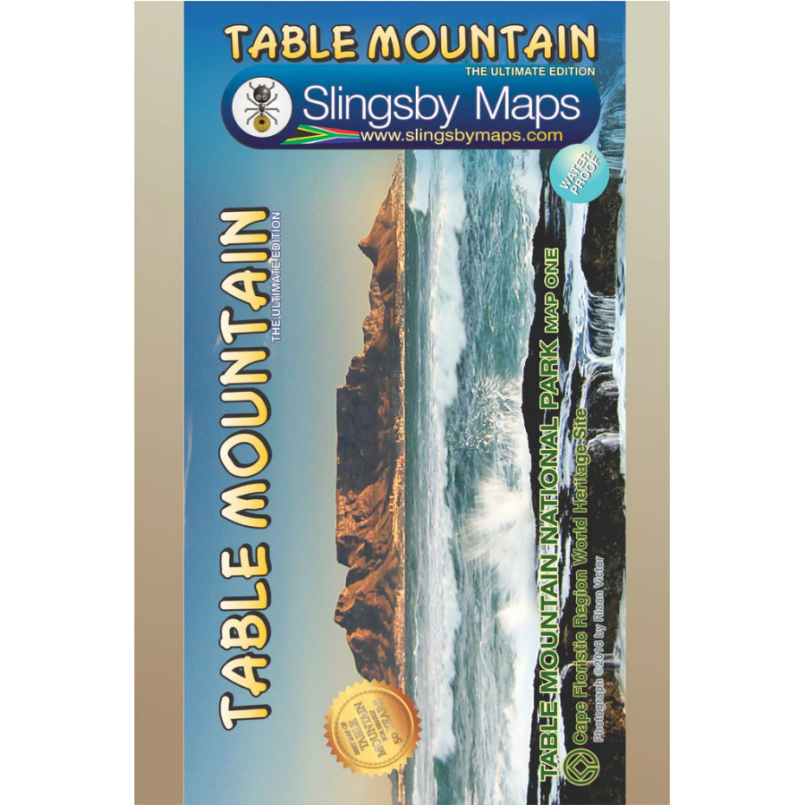
Description
Includes:
- Distances and estimated times shown for all paths above the Contour Path or Pipe Track
- Long/Lat grid at 10” intervals as well as the 200 metre square UTM grid – Completely revised vegeta- tion distribution
- Some vanished paths removed; some new ones added
- Three Firs, Oudekraal Ravine and Constantia Corner routes upgraded
- Clearer depiction of many features, including dangerous routes
- All approved paths, with DD MM SS GPS coordinates for major junctions
- 10 metre contours & delicate colour height shading bring the topography to life
- Forty quality photos of the most prominent mountain flowers, as well as line sketches of flora and fauna are included on the map
The reverse side includes:
- A sketch of the view from Maclear’s Beacon, with names and distances to prominent peaks on the eastern horizon
- Written descriptions of 23 of the most popular routes, with distances and approximate times
- Important safety instructions, emergency telephone numbers, Cableway and National Park details, etc
Additional info:
Table Mountain at 1:20,000, waterproof and tear-resistant map, with details of 23 hiking routes. Contour lines are drawn at 10m intervals, with several different types of vegetation and terrain indicated on the map,
e.g. renosterveld/grassland, different kinds of fynbos, marshes, plantations, gum belts, etc. Boundaries of the Table Mountain National Park and of the restricted Orange Kloof area are marked.
Road network includes untarred public roads, private roads indicating access open to pedestrians or moun- tain bikers, signposts, parking areas, etc. Many road junctions and other important locations are annotated with GPS waypoints. The map shows numerous hiking trails, indicating dangerous or restricted access sections. Extensive overprint highlights other places of interest, picnic areas, benches and natural shelters, restaurants and drinking water, recreational facilities, etc. Both UTM grid lines at 200m and latitude/longi- tude lines at 1’ intervals are drawn across the map.
On the reverse there are brief descriptions of 23 hiking routes indicating approximate time needed to cover each route, general information and safety advice for tourists, panorama view from Maclear’s Beacon, and drawings of local fauna and flora.


Reviews
There are no reviews yet.