


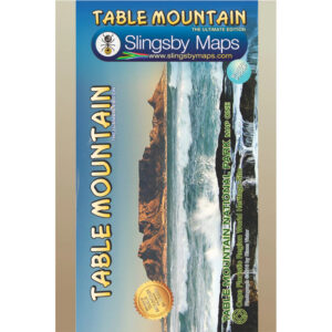
Description
Features:
- Colour-shading and contours at 20m intervals make the distinctive mountains of the Table Mountain National Park stand out clearly
- All Cape Town’s southern suburbs, main roads, railways, footpaths, are accurately mapped andnamed
- More than thirty different kinds of facilities are keyed, from theatres to mountain biking, restaurants to whale-watching
- 500 places of special interest are named, listed and keyed on the map
- Built up areas, industrial areas, informal settlements, cemeteries, sports grounds, shopping centres, cultivated lands, education sites, police stations, and post offices are detailed
- This is the most detailed and up-to-date map of the Cape Peninsula on the market
- There is a comprehensive list of attractions keyed to the map
- An inset map of Robben Island is included
Additional info:
Cape Peninsula on a double-sided, handy A2-size map at 1:50,000 with excellent presentation of the topog- raphy, the road network and hiking trails, numerous places of interest and recreational sites, GPS waypoints, etc.
Coverage extends north beyond central Cape Town to the city’s northern districts and includes Robben Island shown as an inset.
Relief is very effectively depicted by contours at 20m intervals, hill shading, altitude colouring and spot heights.
Road network includes small local roads, indicates restricted access routes and shows driving distances on main and secondary roads. Many road junctions and other locations are annotated with GPS waypoints. Railway lines are shown with stations. The map shows numerous hiking trails and symbols highlight various places of interest, including beaches and locations for diving and various water sports, bird watching sites, wineries, etc.
The index arranged by different types of activities or attractions.


Reviews
There are no reviews yet.